Search
All Events
Use of Geospatial Information and Remote Sensing for Environmental Conservation
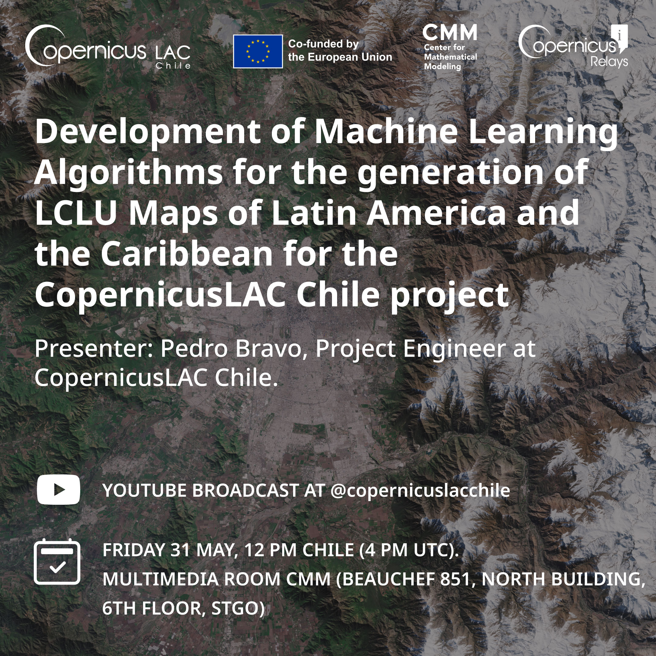
Development of Machine Learning Algorithms for the Generation of LCLU Maps of Latin America and the Caribbean for the CopernicusLAC Chile Project.
Phenological Metrics and Trend Analysis Obtained from Spectral Vegetation Indices as Tools for Classification And Continuous Monitoring of Vegetation at Multiple Scales.
Previous Page