Search
All Events
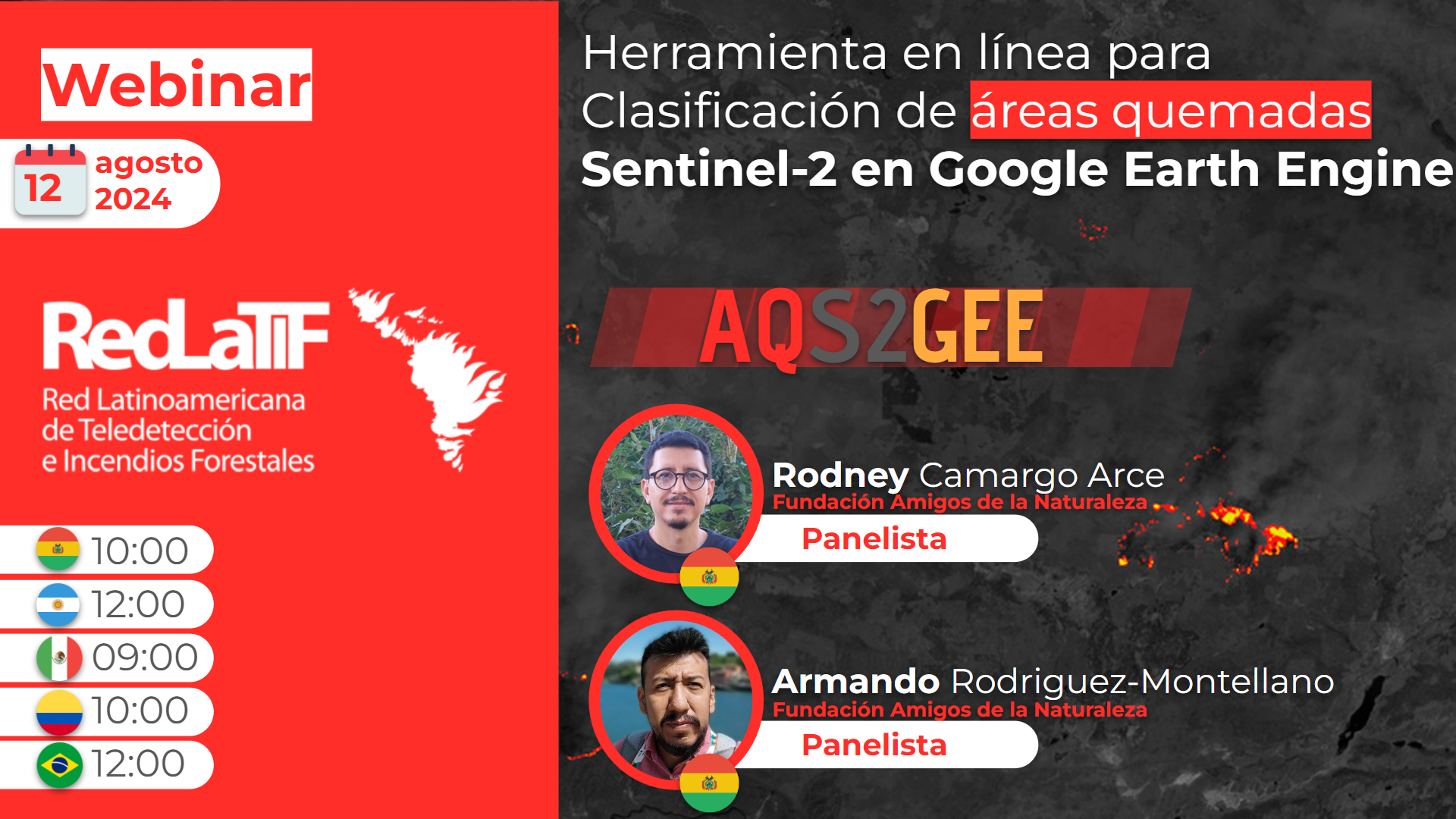
Online tool for Sentinel-2 burned area classification in Google Earth Engine
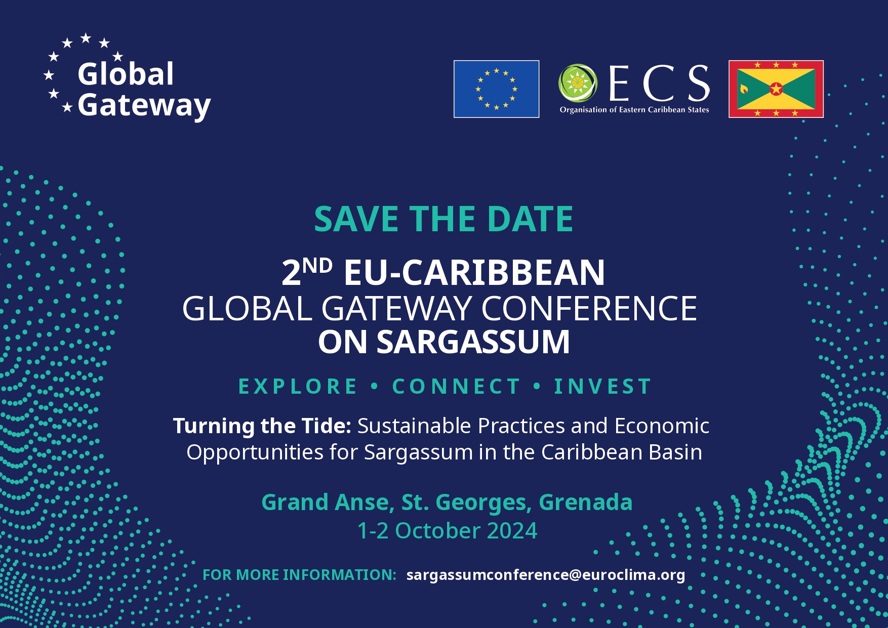
2nd Eu-Caribbean Global Gateway Conference On Sargassum
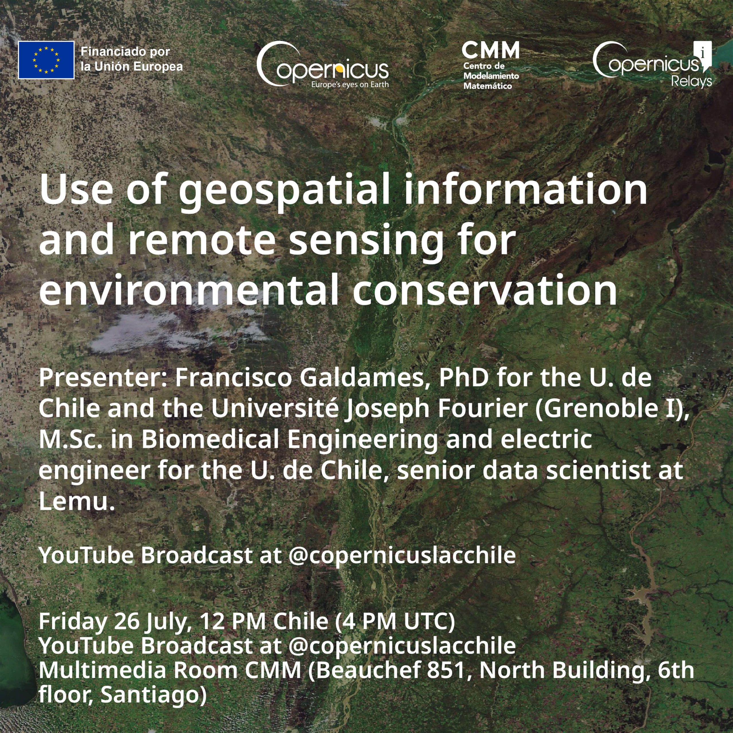
Use of geospatial information and remote sensing for environmental conservation
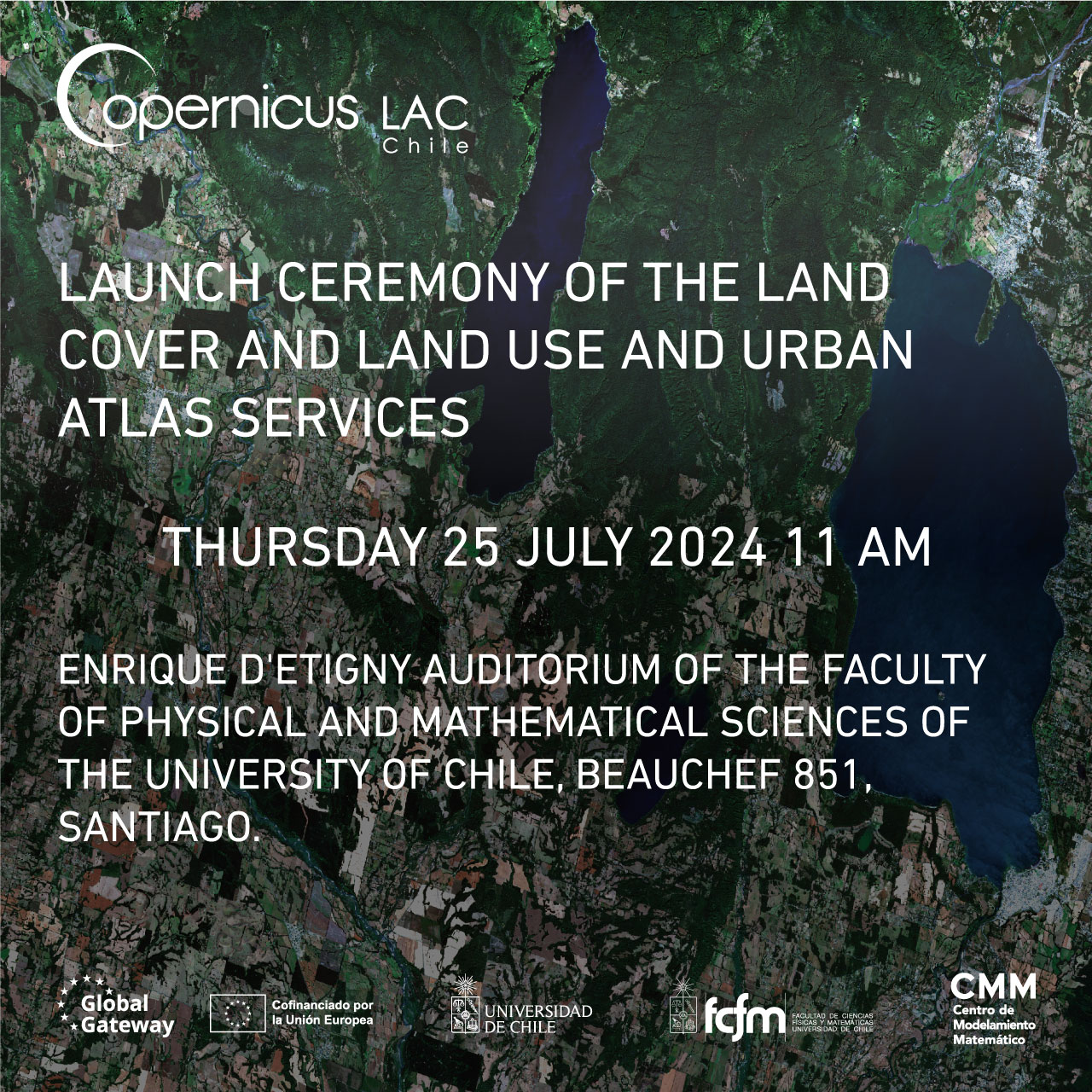
Launch Ceremony of the Land Cover and Land Use and Urban Atlas Services
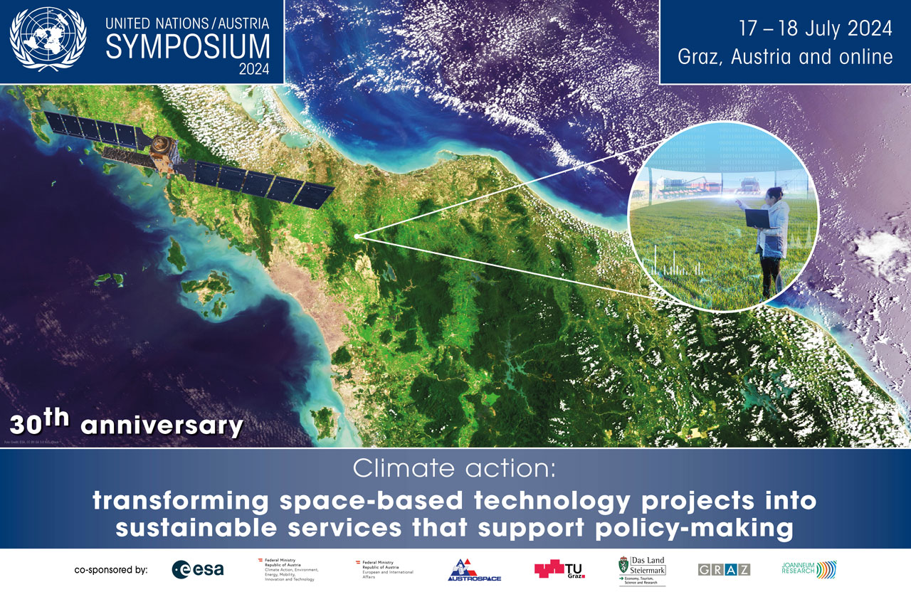
UN/Austria Symposium 2024
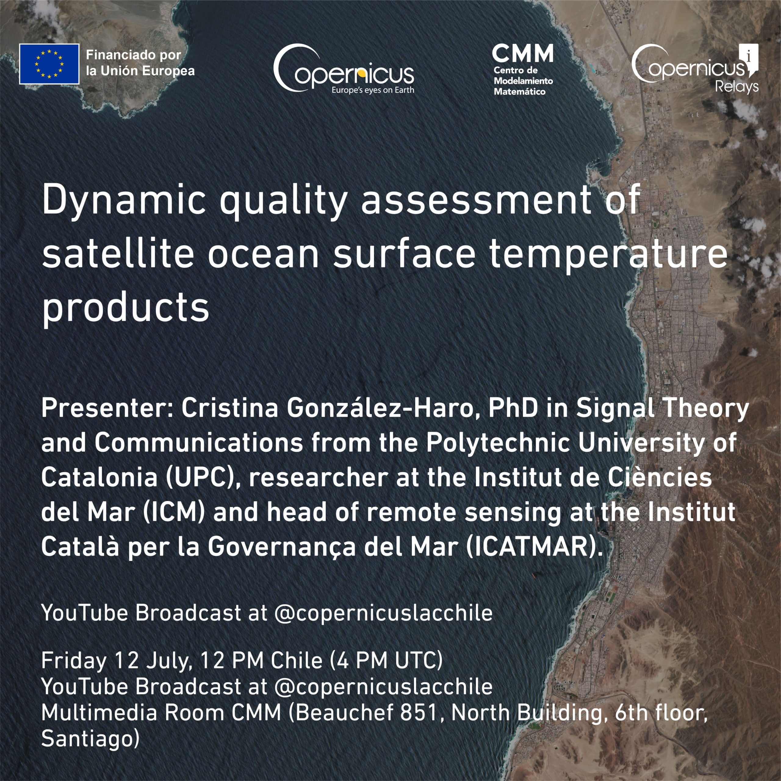
Structural and Dynamical Quality Assessment of Gap-filled Sea Surface Temperature Products
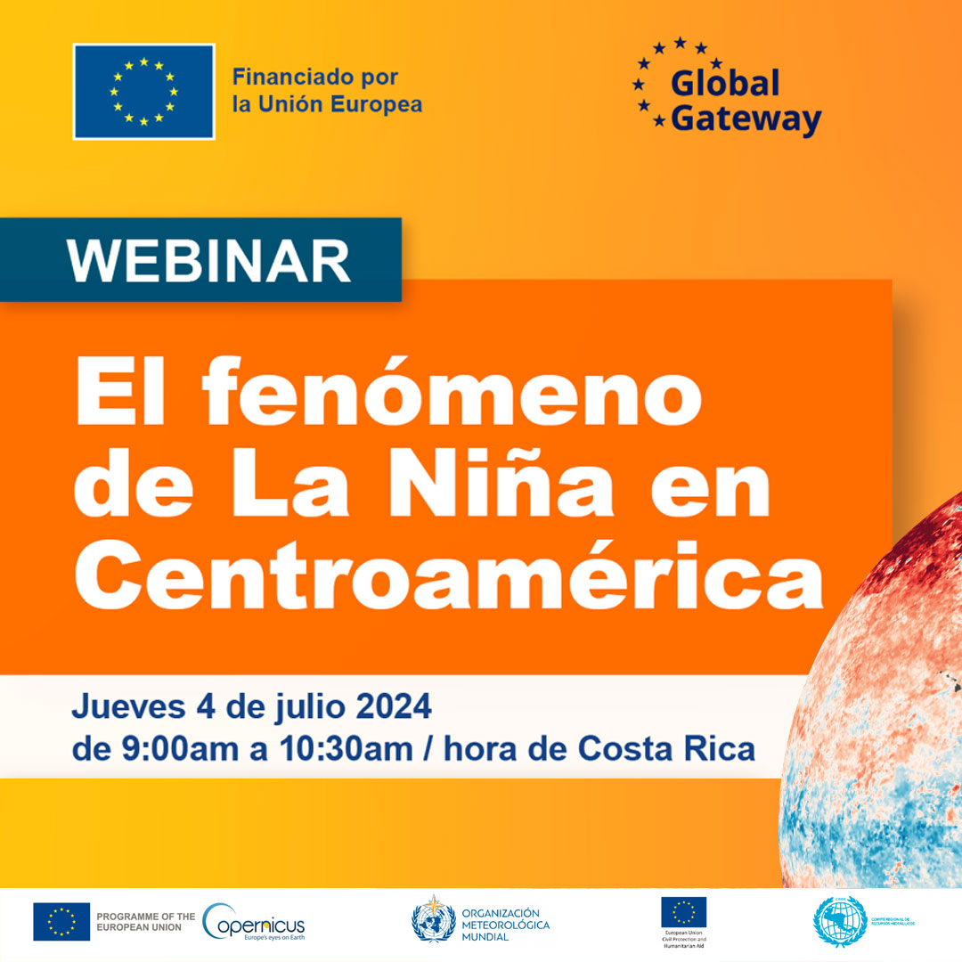
Webinar La Niña Phenomenon In Central America
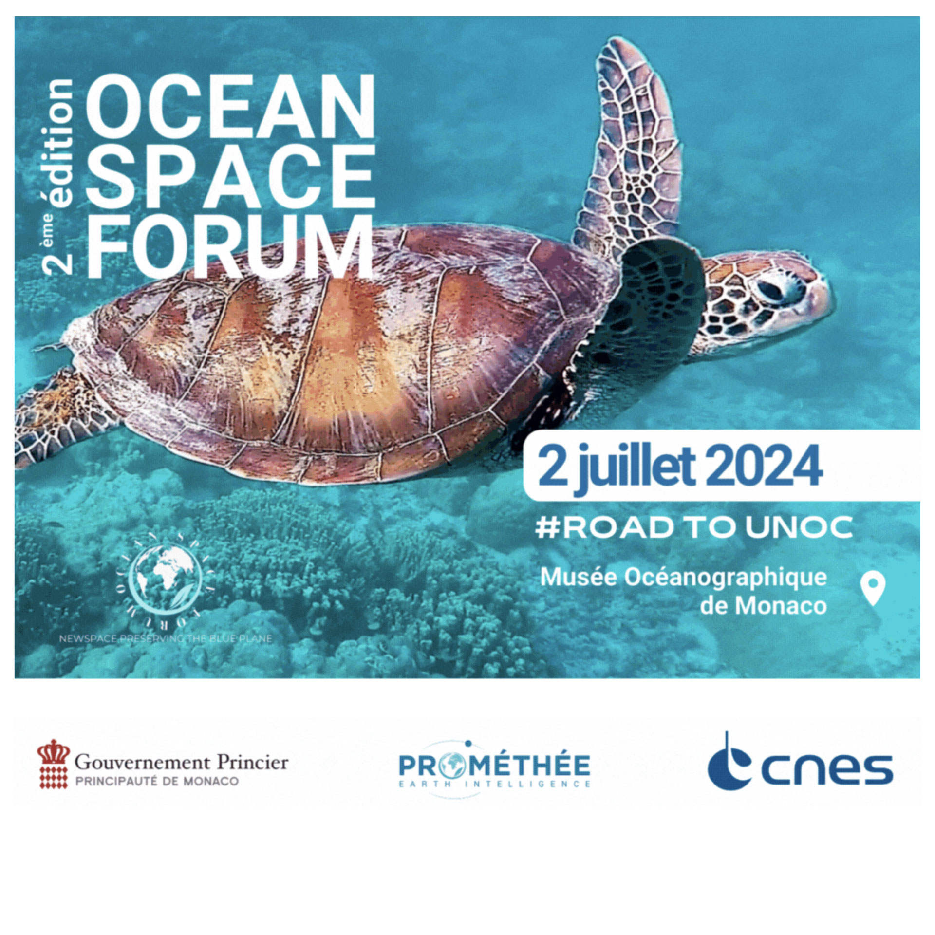
Second Edition Of The Ocean Space Forum
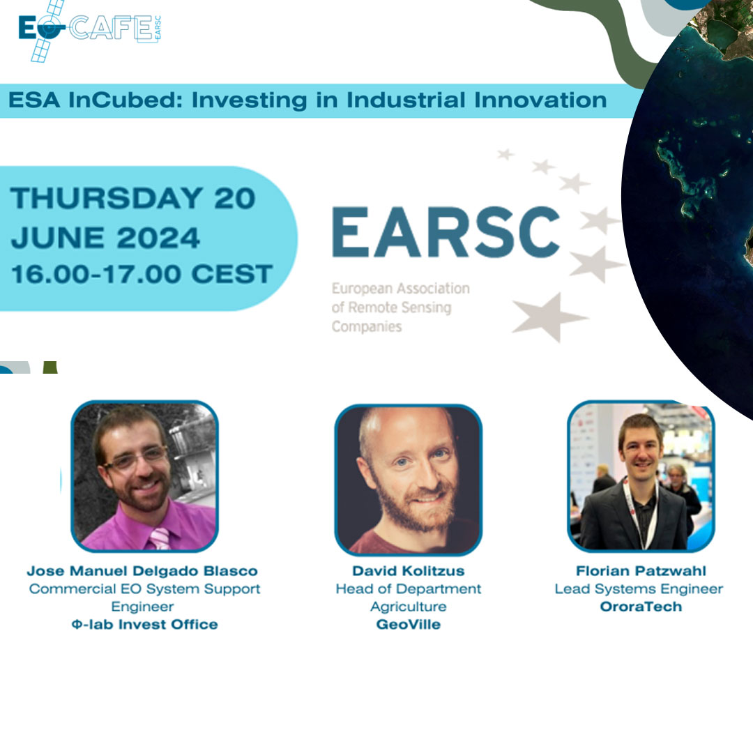
EOCafe: ESA Incubed, Investing In Industrial Innovation
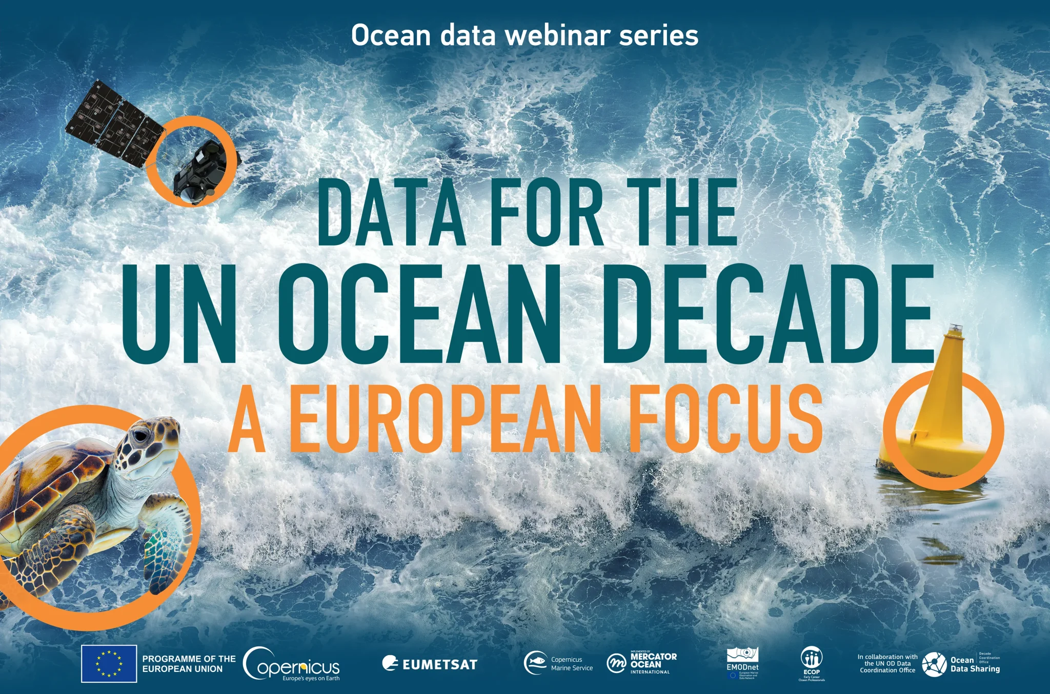
Data For The Un Ocean Decade – A European Focus
Previous Page
Next Page