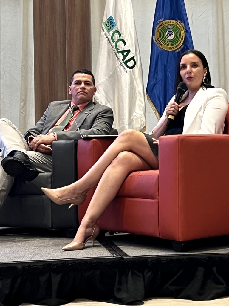
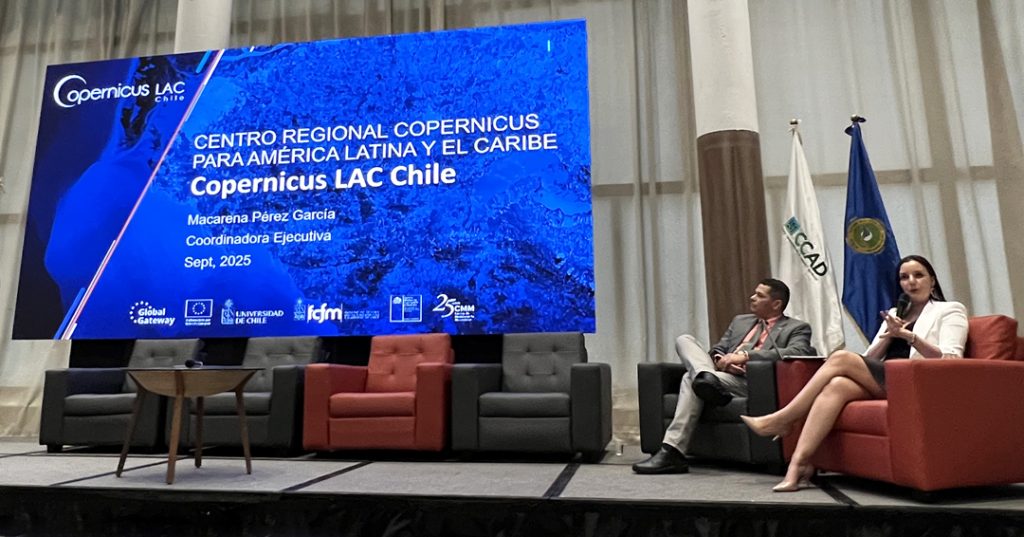
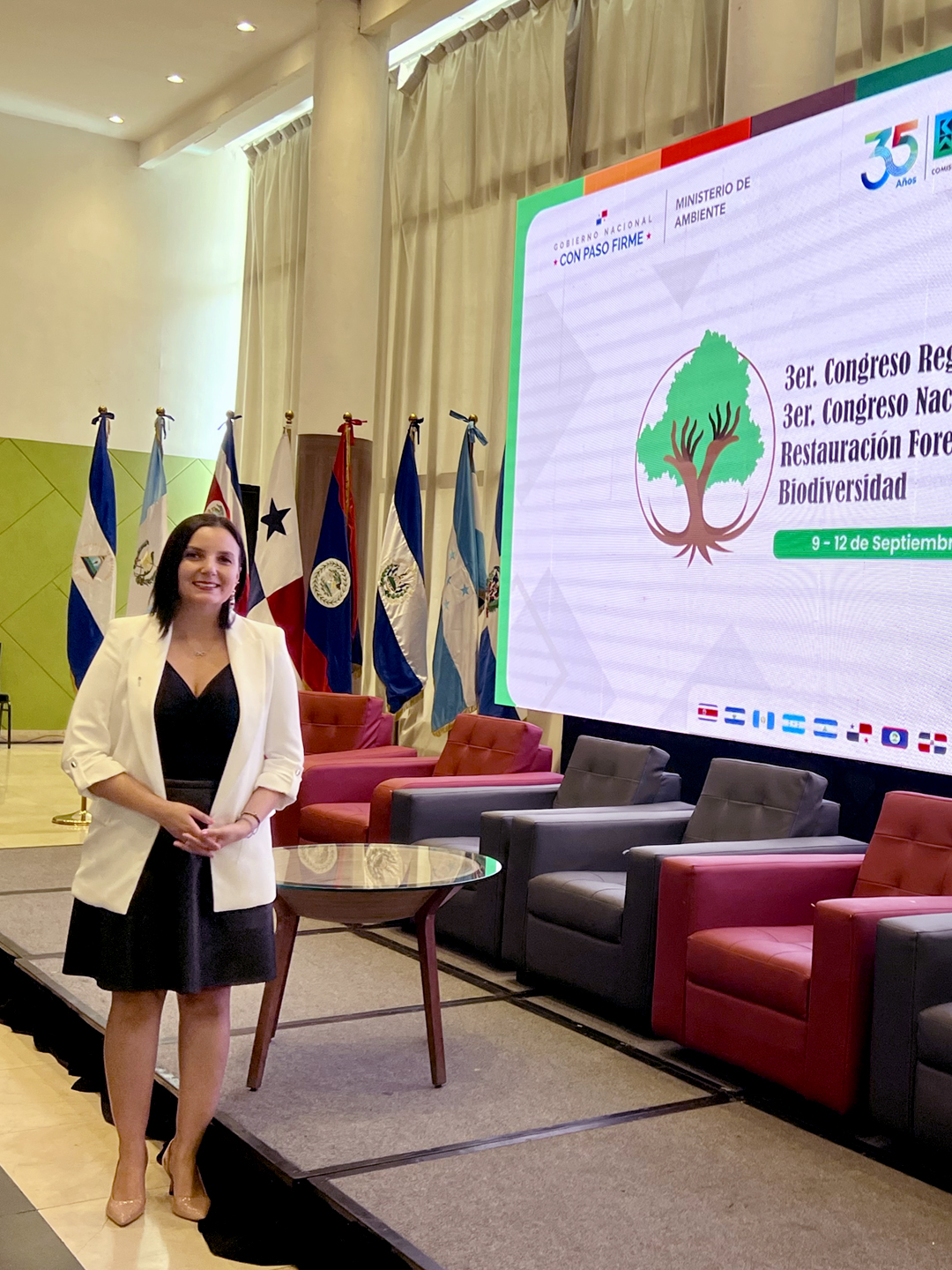
The executive coordinator of CopernicusLAC Chile, Macarena Pérez, participated in the Third Regional Congress of the Central American Commission on Environment and Development (CCAD), held from 9 to 12 September in Panama City. The purpose of the meeting was to promote the exchange of experiences in ecological restoration and conservation.
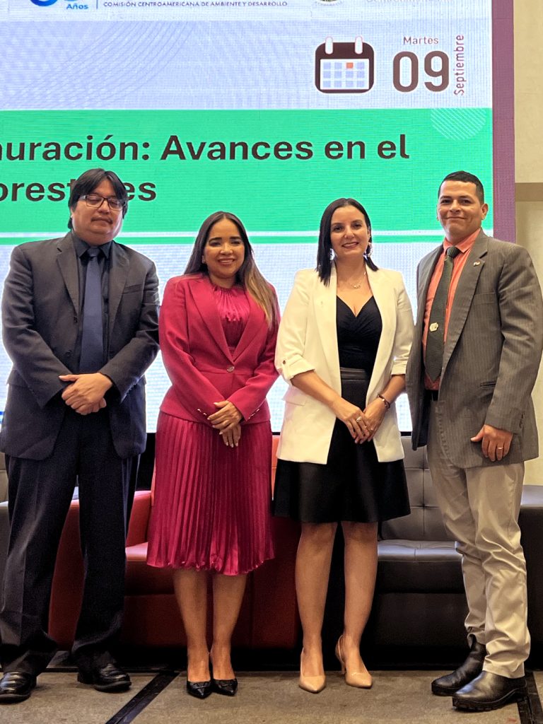
At this event, Pérez was part of the panel “Satellite monitoring of restoration: advances in forest data management”, whose objective was to present criteria and practices for the use of remote sensing to support ecosystem and landscape restoration processes in the member countries of the Central American Integration System (SICA). The discussion was aimed at facilitating the incorporation of these tools into policy decisions, investment and the fulfilment of regional goals.
During the session, the current status of forestry satellite products and their role in restoration was discussed, and experiences that favour the adoption of these services by countries in the region were shared.
In her presentation, the representative of CopernicusLAC Chile outlined the current status of the services offered by the project, highlighting their usefulness in monitoring landscape restoration. The panel also discussed how SICA countries can benefit from these products and services, and what steps are necessary to access them.
The panel also included Claudia Herrera, stakeholder liaison officer for CopernicusLAC Panama, and Roney Samaniego, head of the Remote Sensing Department at MiAmbiente Panama. The discussion was moderated by Abner Jiménez, regional technical coordinator of GIZ’s REDD+ Landscape III project.
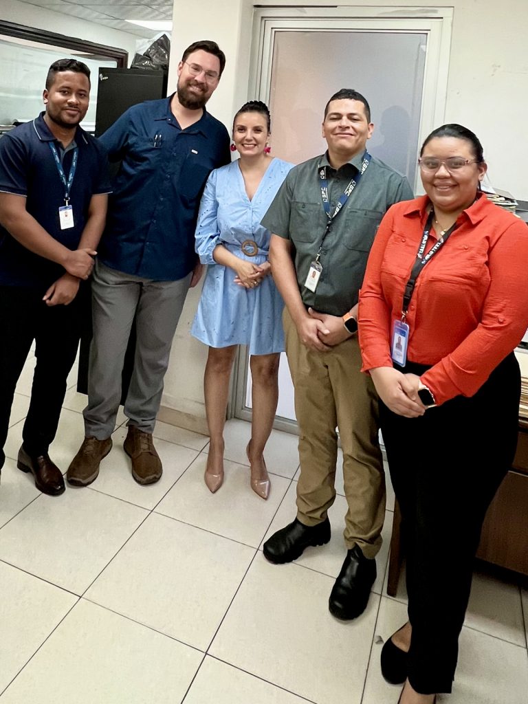
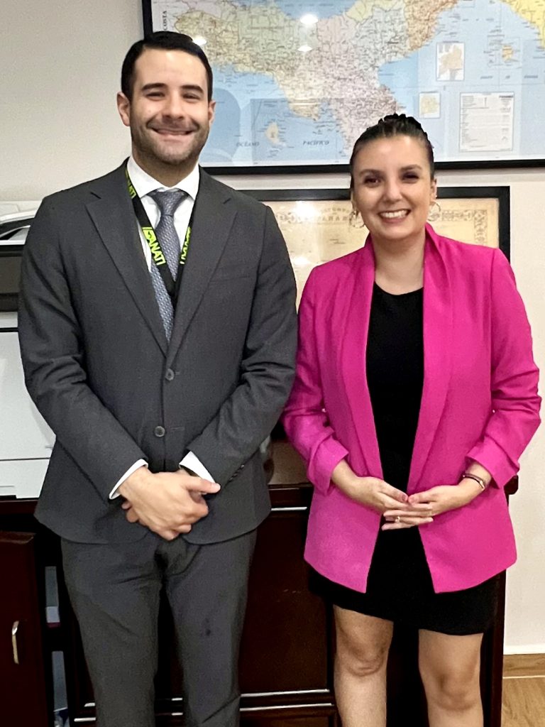
Finally, Macarena Pérez held meetings with the Remote Sensing Department of Panama’s Ministry of Environment and with Ángel Dávila, Secretary General of the National Land Management Authority (ANATI). These meetings focused on the services offered by CopernicusLAC Chile and the in situ data strategy currently being developed.