Last week, José Miguel Rubio Iglesias, an engineer in geodesy and cartography and currently Copernicus In Situ Data Expert at the European Environment Agency (EEA), visited Chile for two important events at ECLAC and CopernicusLAC Chile, where he discussed the importance of access to and management of geospatial data for the development of satellite services and observations, both globally and regionally.
Participation in the twelfth session of UN-GGIM: Americas at ECLAC
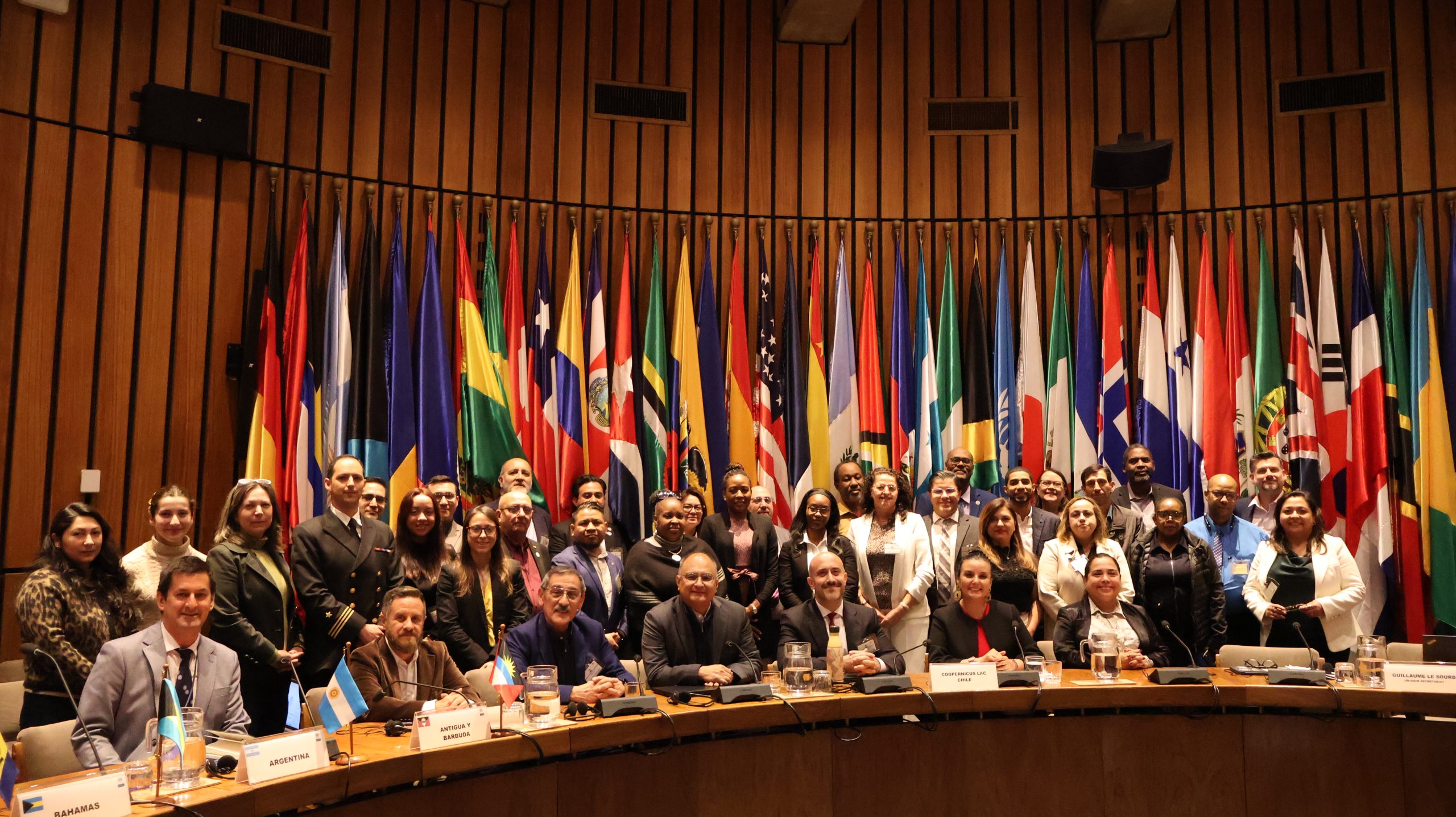
From November 5 to 7, the twelfth session of UN-GGIM: Americas was held in Santiago, Chile, jointly organized by the Board of Directors of UN-GGIM: Americas and the Economic Commission for Latin America and the Caribbean (ECLAC). The meeting brought together representatives of national and international organizations with the aim of promoting cooperation and strengthening geospatial data policies and infrastructure on the continent.
“UN-GGIM: Americas is the regional committee of the United Nations Committee of Experts on Global Geospatial Information Management, focused on coordinating policies, promoting the development of geospatial data infrastructures, and cooperation among countries in the Americas to maximize the socioeconomic and environmental benefits of geospatial information, addressing global challenges such as climate change and disaster management.” (ECLAC, 2025).
During Session 7: “Use of Earth observation technologies and innovative methods for the production of geospatial and statistical data,” the director of CopernicusLAC Chile, Florencio Utreras, presented the capabilities and services offered by the Center, highlighting its relationship with the European Union’s Copernicus program and Chile’s strategic role as a regional hub for the generation and dissemination of satellite information.
Subsequently, José Miguel Rubio conducted the workshop “In situ data: Field information for the generation of open regional products for territorial management,” where he shared experiences and case studies from different countries. His presentation emphasized the challenges, value, and opportunities that in situ information represents for strengthening geospatial services and their application in public policy and territorial management.
CopernicusLAC Chile Seminar
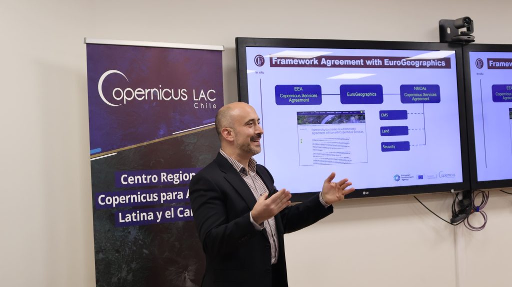
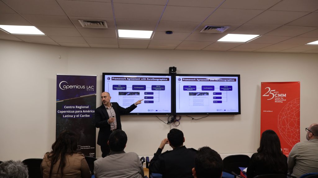
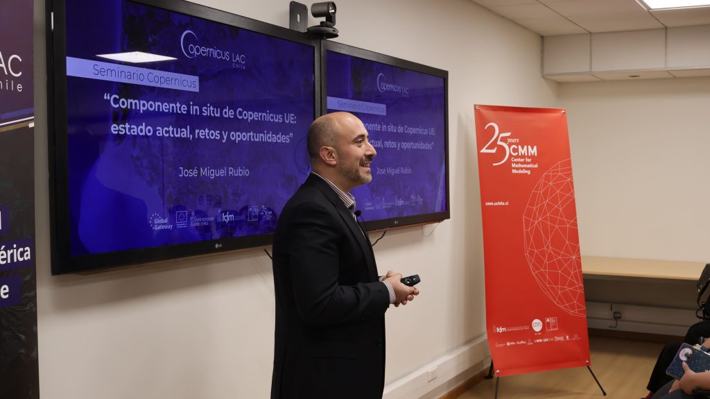
On Friday, November 7, Rubio was invited to participate in the CopernicusLAC Chile Seminars, with a presentation entitled “Copernicus EU In Situ Component: Current Status, Challenges, and Opportunities.”
The event was attended by representatives from various national institutions, including: the Ministry of Public Works (MOP), the Chilean Meteorological Directorate (DMC), the General Water Directorate (DGA), the Military Geographic Institute (IGM), the National Institute of Statistics (INE), the National Geology and Mining Service (SERNAGEOMIN), the Agricultural and Livestock Service (SAG), the Regional Government of Santiago (GORE Santiago), the Natural Resources Information Center (CIREN), the National Artificial Intelligence Center (CENIA), the Center for Climate Science and Resilience (CR2), the Energy Center of the University of Chile, Open Beauchef, the Pontifical Catholic University (PUC), and the Delegation of the European Union in Chile.
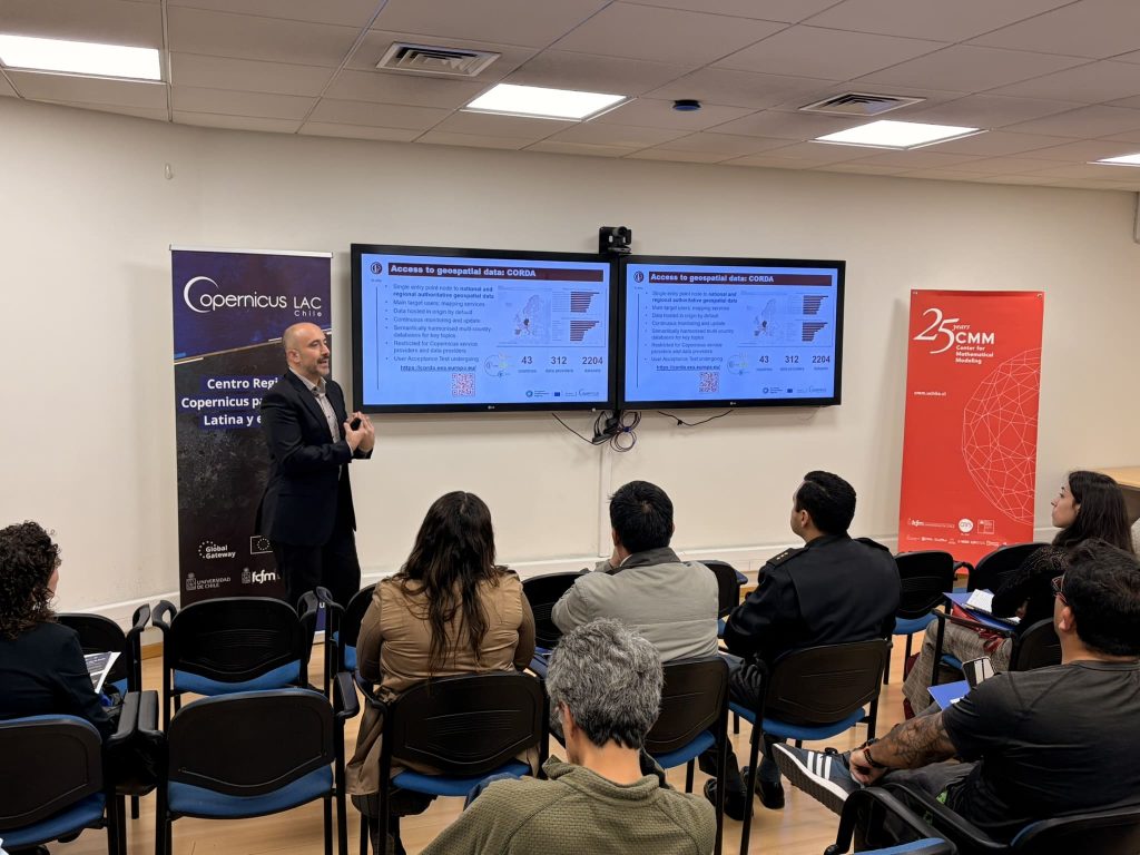
During his presentation, the expert explained the cross-cutting coordination work led by the EEA within the in situ component of Copernicus, including data needs assessment, access to and harmonization of geospatial sources, and collaboration with information provider networks at the European and international levels.
He also presented the expected progress in thematic inventories, licensing agreements, and in situ data use cases, with selected examples from the region. Finally, he addressed the future evolution of the in situ component beyond 2027, focusing on closing data gaps, strengthening partnerships, and ensuring the sustainable and cooperative evolution of the system.
A step towards greater international cooperation
José Miguel Rubio’s visit represented a milestone in strengthening ties between Europe and Latin America in the field of geospatial data. His presence in Chile helped to reinforce technical and institutional collaboration between the European Environment Agency, CopernicusLAC Chile, and national entities involved in land, climate, and natural resource management. These opportunities for dialogue and training contribute to consolidating a more open and sustainable regional Earth observation infrastructure, aligned with the scientific and environmental development objectives of both regions.
CEPAL event image gallery:
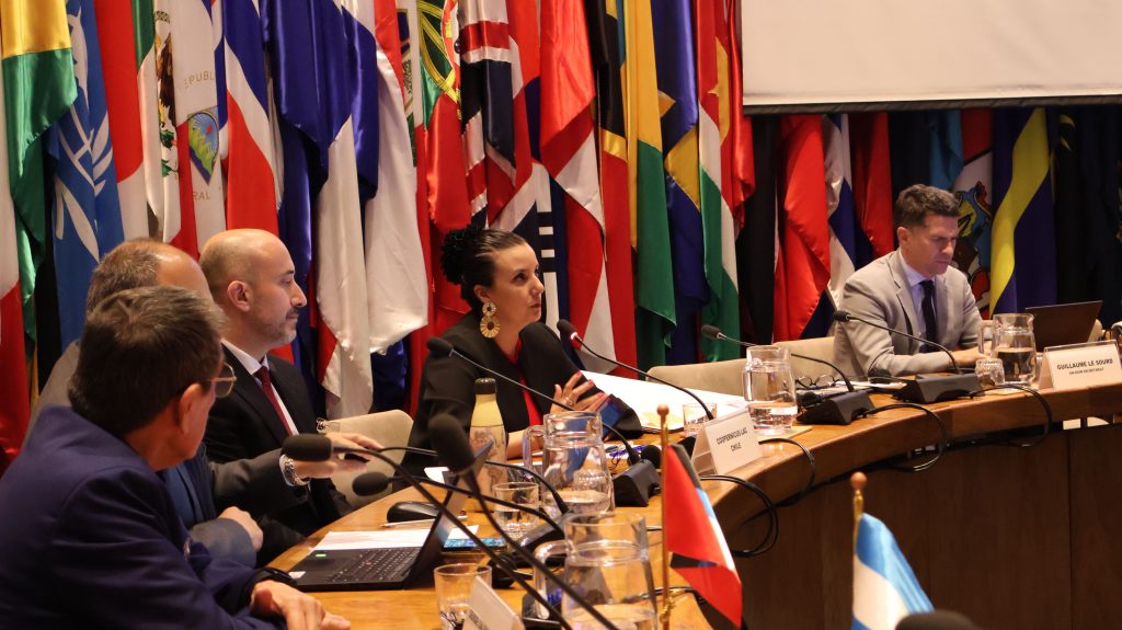

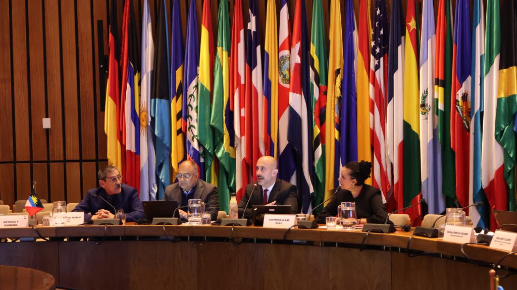
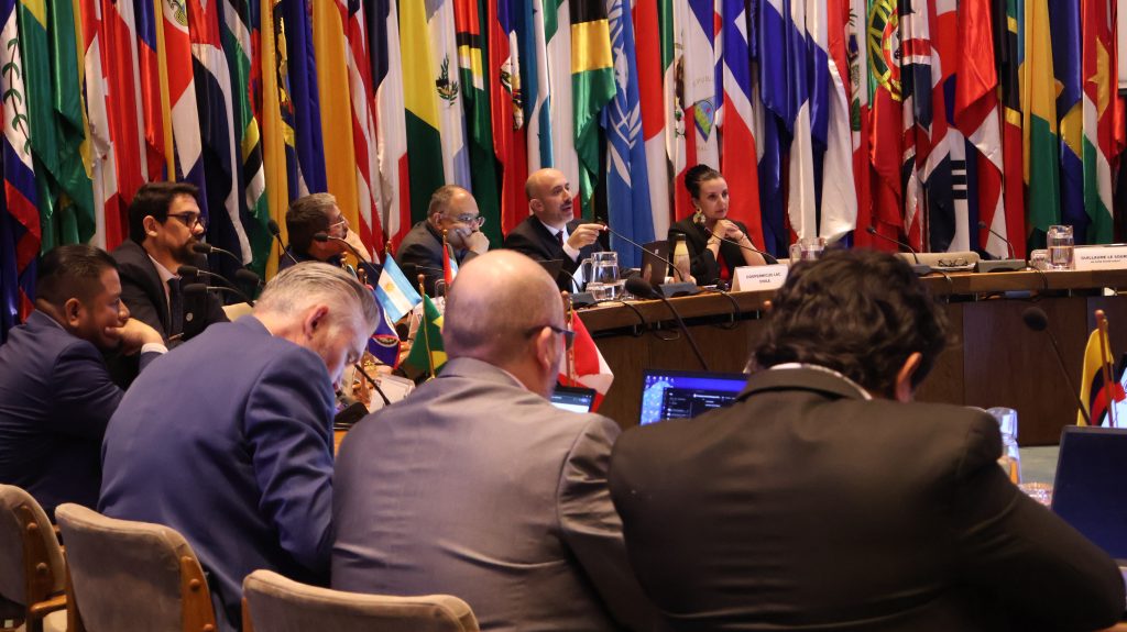
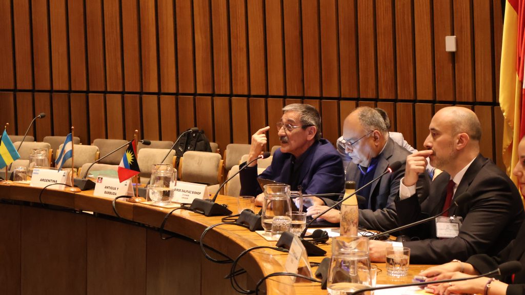

Image gallery CopernicusLAC Chile Seminar: