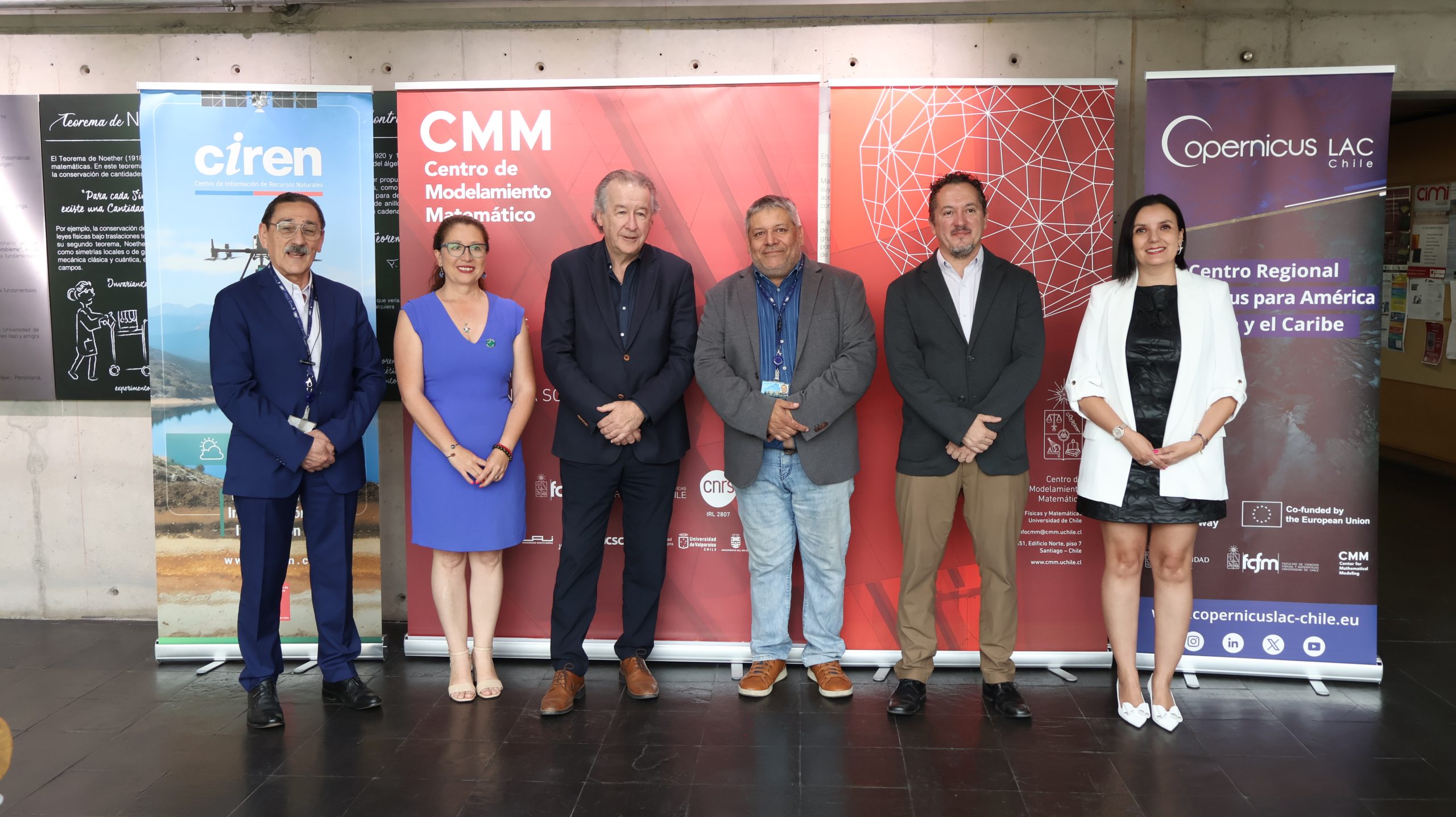
On Monday, December 1, CopernicusLAC Chile received a visit from the Natural Resources Information Center (CIREN), an institution belonging to the Chilean Ministry of Agriculture and a national reference point for the collection, analysis, and management of information on the country’s natural and productive resources. Throughout its history, CIREN has developed one of Chile’s most important geospatial databases, with information on soils, water resources, climate, fruit growing, forestry, and a complete rural property registry.
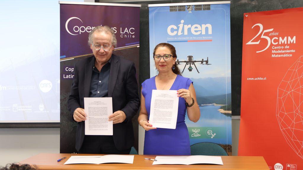
The visit took place within the framework of the signing of a collaboration agreement between CIREN and the Faculty of Physical and Mathematical Sciences (FCFM) of the University of Chile, as part of the ongoing commitment of both institutions to promote strategic alliances that allow for the coordination of efforts, the sharing of capabilities, and the promotion of high-impact scientific and technological initiatives.
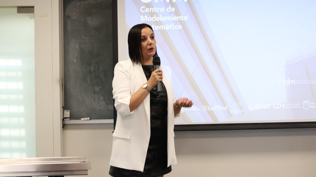
CIREN Executive Director Katherine Araya Matus noted that the agreement reinforces the work CIREN has been doing with academia and also opens up more opportunities to share information and continue democratizing knowledge, which is key to advancing natural resource management and sustainability issues, as well as their application in the territory.
He added that “it is essential that this move forward. Our challenge is to continue working in a coordinated and collaborative manner because science is done by everyone. This allows us to take a strategic political view of studies on climate change and water stress, in addition to the pressure that our country’s natural resources are under today. It is essential that everyone, especially this enormous community, work together in a coordinated manner.”
For his part, Francisco Martínez Concha, dean of the Faculty of Physical and Mathematical Sciences at the University of Chile, commented that “this agreement reflects the role that the University of Chile and the FCFM play in the country: articulating science, data, and technological capacity to strengthen public decision-making. The collaboration with CIREN is good news because it allows us to project cutting-edge applied research and continue to train professionals capable of responding to Chile’s territorial, climatic, and productive challenges with evidence and technical rigor.”
The agreement establishes a series of objectives aimed at strengthening collaborative work in applied research, technological development, and advanced talent training, including consolidating institutional links to implement joint programs for community outreach and applied research; jointly executing projects and studies; exchanging and transferring relevant information; facilitating in-person research stays at both the CMM laboratory and CIREN facilities; developing training activities, workshops, and lectures in areas of shared expertise; and enabling professional practice opportunities for undergraduate and graduate students at the FCFM.
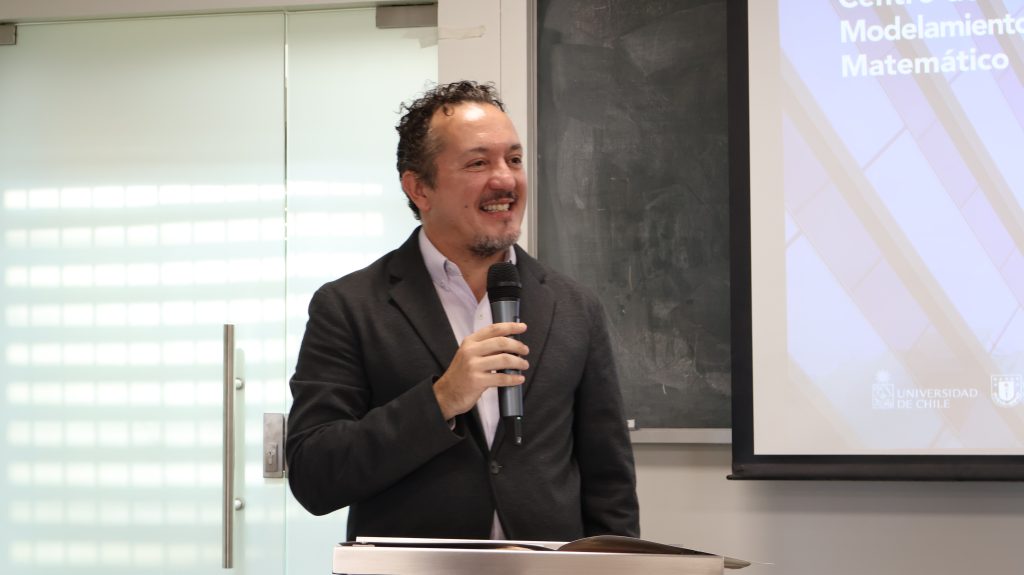
Florencio Utreras, director of CopernicusLAC Chile, highlighted that “some opportunities arising from the collaboration with CIREN include having more accurate, reliable, and regular information, thanks to the satellite data that is systematically developed, thus allowing us to analyze how ecosystems evolve, the changes that occur in them, and the possible impacts on social, environmental, economic, and other areas, which is key data for the generation of public policies.”
“Cooperation between agencies that can manage territorial information and those that can provide satellite information, combined with current technological developments, allows us to build products and services that are extremely useful for planning, territorial monitoring, and, consequently, better territorial management for the country,” added Utreras.
CMM Director Héctor Ramírez emphasized that “the signing of this agreement with CIREN is a significant step toward strengthening the national geospatial data ecosystem. CopernicusLAC Chile is now a key part of the Faculty’s CMM innovation infrastructure, and this alliance allows us to integrate satellite observation, mathematical modeling, and technological capabilities with the valuable collection of territorial information that CIREN has built up over decades. This articulation between science, technology, and the public sector is essential for advancing toward more accurate, timely, and sustainable management of the country’s natural resources.”
The signing of this agreement marks a significant milestone in strengthening the national geospatial data ecosystem by bringing together scientific, technological, and public capabilities for the benefit of the country. Both CIREN and FCFM, through CopernicusLAC Chile and CMM, reaffirm their commitment to developing evidence-based solutions, generating knowledge, and training highly qualified professionals, with the aim of contributing to better land management and informed decision-making in the face of current and future challenges.