Last Wednesday 4th December, the CopernicusLAC Chile team, led by its scientific director Jaime Ortega, took part in the Workshop on Innovation and Applications with Geospatial Data in Chile, organised by the Central Bank of Chile. The purpose of this event was to present innovations and technological solutions in the area, integrating tools such as remote sensing, modelling techniques and machine learning.
Aimed at public, academic and private entities, the workshop explored how these technologies can be applied in key areas such as economics, conservation, statistics and public policy. Through case studies, applications such as natural capital monitoring, natural resource management and risk mitigation were analysed.
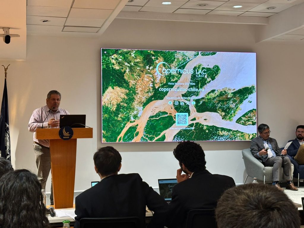
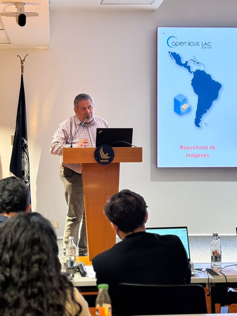
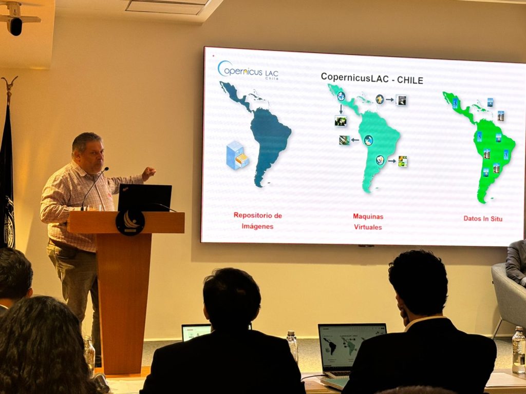
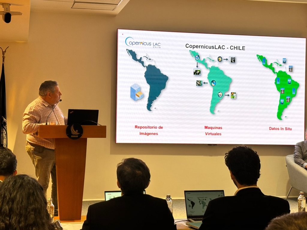
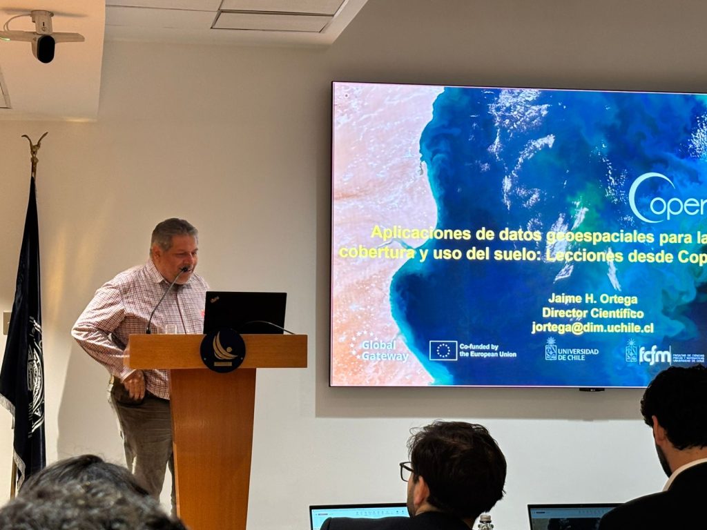
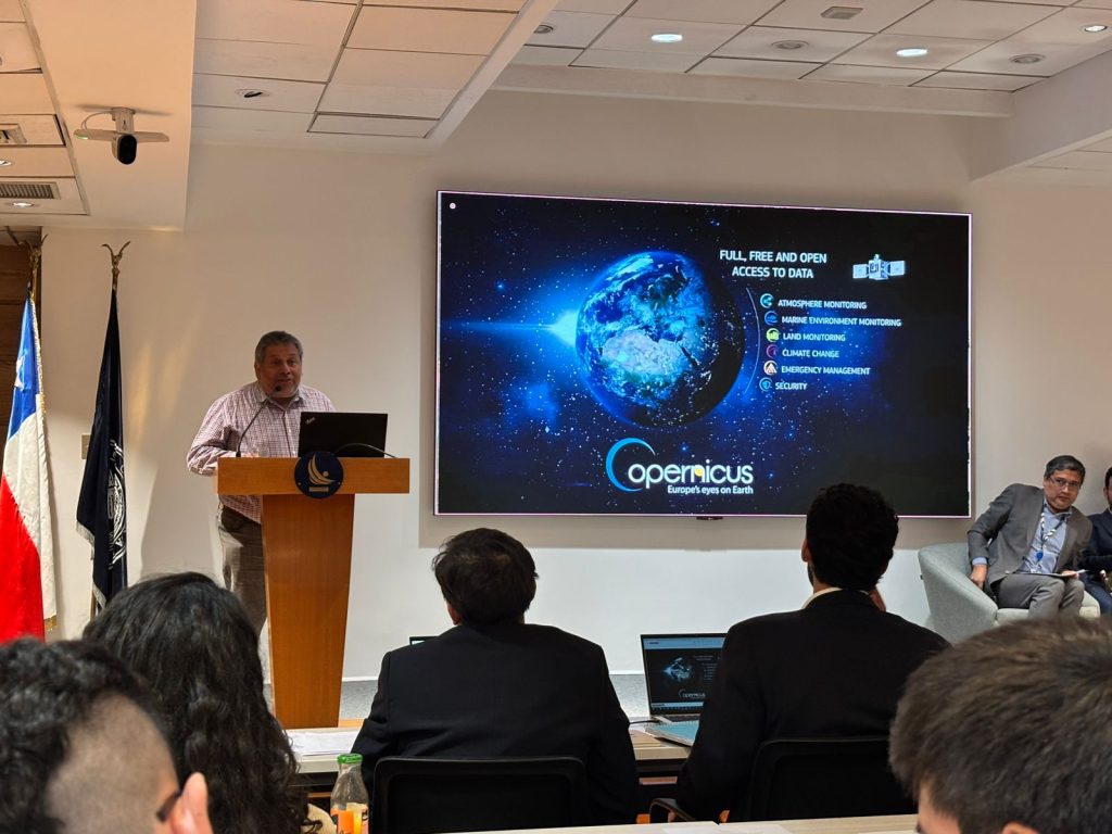
On the occasion, Jaime Ortega presented the paper ‘Geospatial data applications for land cover and land use management: Lessons from CopernicusLAC Chile’, as part of the second module of the event, focused on practical applications. His intervention highlighted the project’s achievements in the use of satellite data to improve territorial planning and analysis.
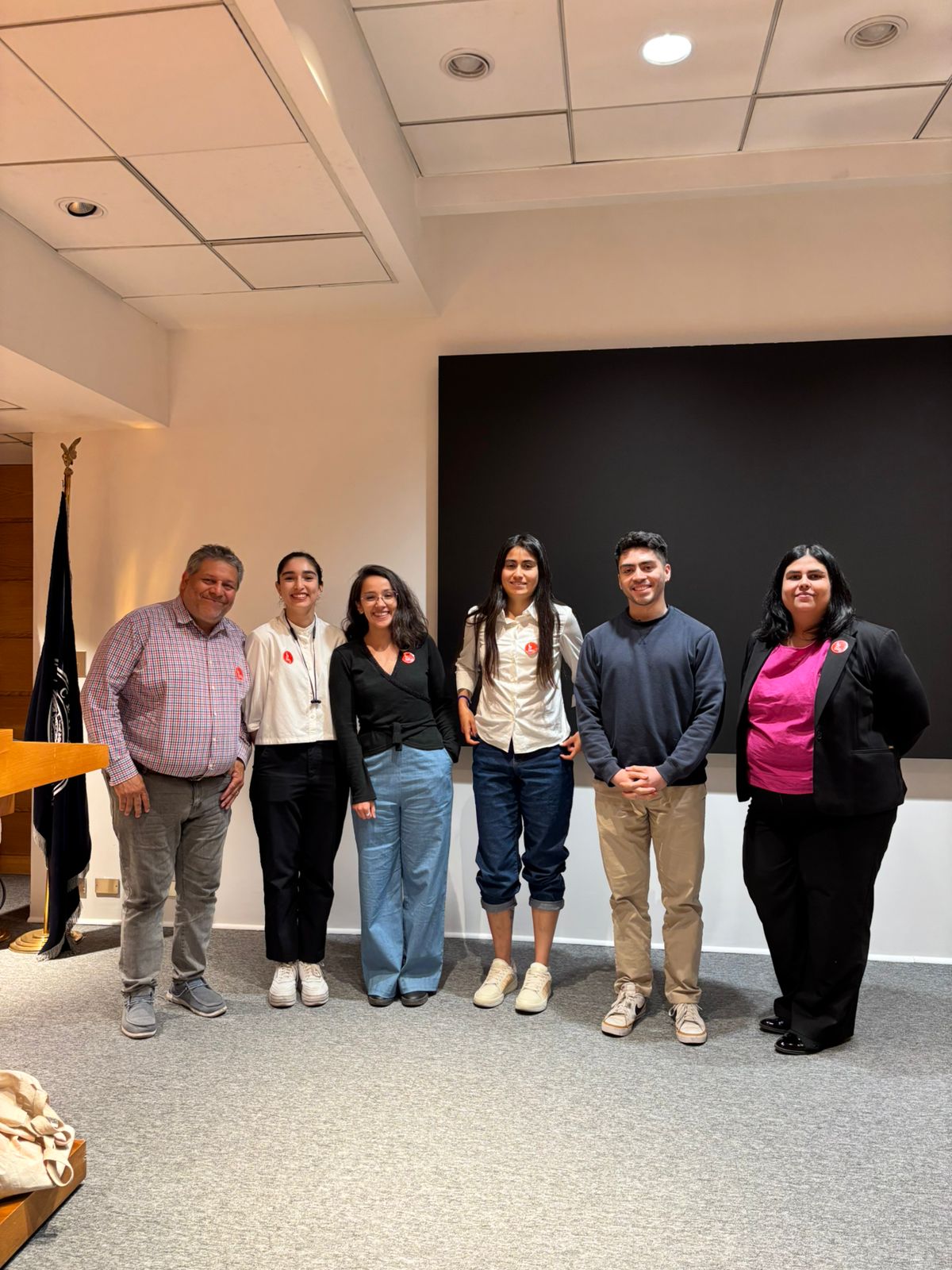
The scientific director of CopernicusLAC Chile was accompanied by part of the CopernicusLAC Chile Geomatics Laboratory (CMM Mingas) team, composed of project engineers Francisca Gutiérrez, Camila Gómez, Gabriela Jerez, Tamara Muñoz and Sebastián Landeros.
This participation reaffirms CopernicusLAC Chile’s commitment to the dissemination and promotion of advanced technological tools, highlighting its role in addressing local and global challenges through the strategic use of geospatial data.
Check out a gallery of images from the event here: