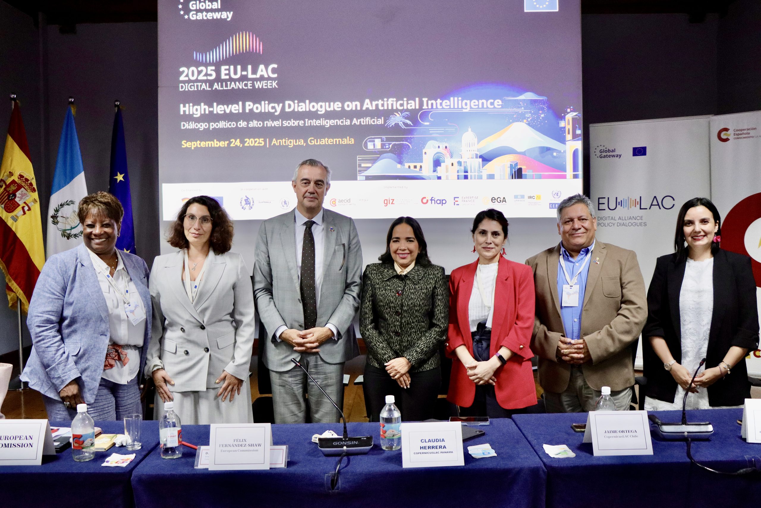
At the 2025 EU–LAC Digital Alliance Week in Antigua, Guatemala, the CopernicusLAC Chile team officially launched the 2024 editions of the land-cover and land-use maps and the Urban Atlas of Latin America and the Caribbean, as well as announcing the roll-out of its new digital infrastructure.
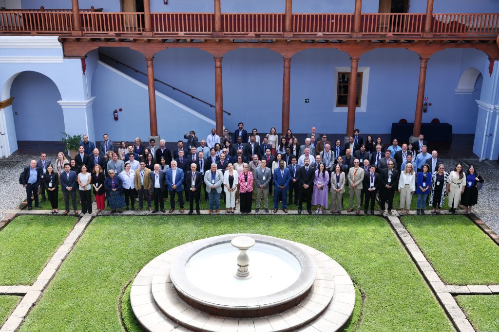
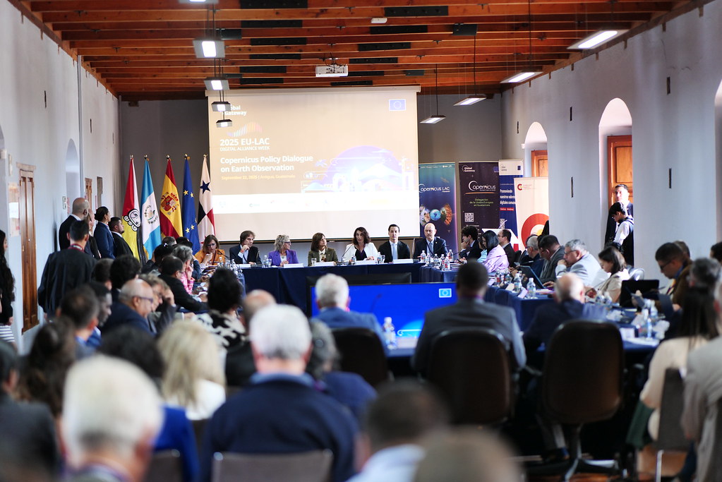
During the opening day of the EU–LAC Digital Alliance Week, held on Monday 22 September, the Copernicus Dialogue on Earth Observation for Disaster Risk Management took place. On this occasion, CopernicusLAC Chile’s Scientific Director, Jaime Ortega, and the project’s Executive Coordinator, Macarena Pérez, presented the latest developments and advances of the programme. The event, which ran until Friday 25 September, brought together more than 200 participants.
Also in attendance was Lucía Núñez, Head of the Department of Science, Technology, Education and Astronomy at the Chilean Ministry of Foreign Affairs, who expressed the government’s support for the initiative: “We celebrate and endorse this initiative, convinced that it is an example of how collaboration between science, academia, international cooperation and states can transform realities, generate innovative solutions and strengthen regional integration.”
Updates in CopernicusLAC Chile services
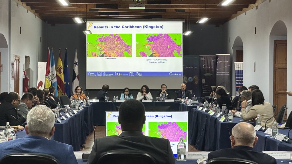
The launch introduced substantial improvements to CopernicusLAC Chile products. For land cover and land use, the classification expanded from seven to eleven classes, allowing for more accurate representation of ecosystems ranging from the Amazon rainforest to fragile environments such as deserts. The territorial integration framework was also renewed, replacing general categories with a biome-based organisation to better reflect common characteristics of vegetation and fauna.
In the case of the Urban Atlas, the classification grew from five to eleven classes, providing a much higher level of detail on urban morphology and different land-use types, thereby strengthening monitoring and regional planning capacities. These innovations are underpinned by a methodological shift: moving away from decision trees and adopting deep neural networks trained with multi-band satellite imagery, which has made it possible to integrate large volumes of heterogeneous data and improve accuracy in both natural and urban areas.
Complementing these advances is the deployment of the project’s new digital infrastructure. This includes a private cloud that will enable interested institutions to process satellite imagery and geospatial data using high-performance virtual machines. The creation of a repository compiling all Sentinel images available since 2014 was also announced, due to come into operation in the coming months.
About the EU–LAC Digital Alliance Week
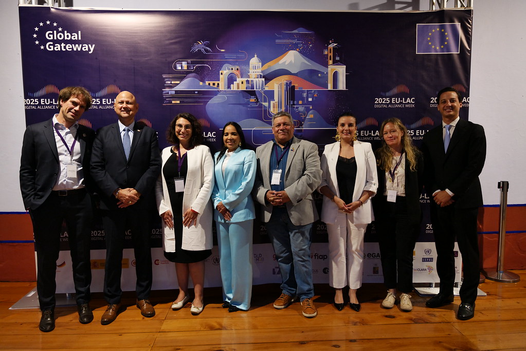
The EU–LAC Digital Alliance Week was organised by the Spanish Agency for International Development Cooperation (AECID), the Digital for Development (D4D) Hub, the European Space Agency, the United Nations Economic Commission for Latin America and the Caribbean (ECLAC), CopernicusLAC Centres of Chile and Panama.