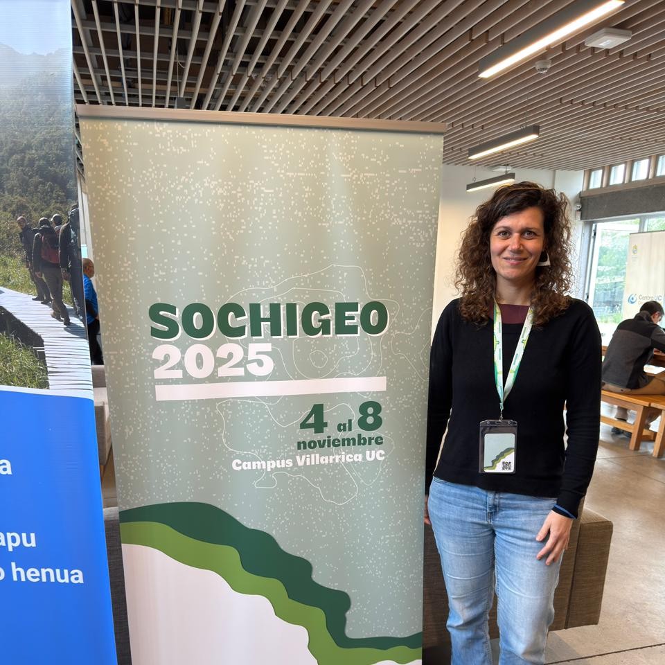
Between November 4 and 8, 2025, the 45th National and 30th International Geography Congress was held in the city of Villarrica, organized by the Chilean Society of Geographic Sciences (SOCHIGEO) and the Pontifical Catholic University of Chile (PUC). The meeting, which brings together academics, researchers, teachers, and students from different regions of the country and abroad every year, once again established itself as the main space for reflection and disciplinary dialogue on the contemporary challenges of geography.
During the four days of the event, more than 300 presentations were given across 29 thematic panels, in addition to poster sessions, discussions, book and magazine launches, and spaces for academic debate.
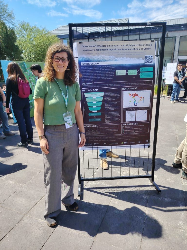
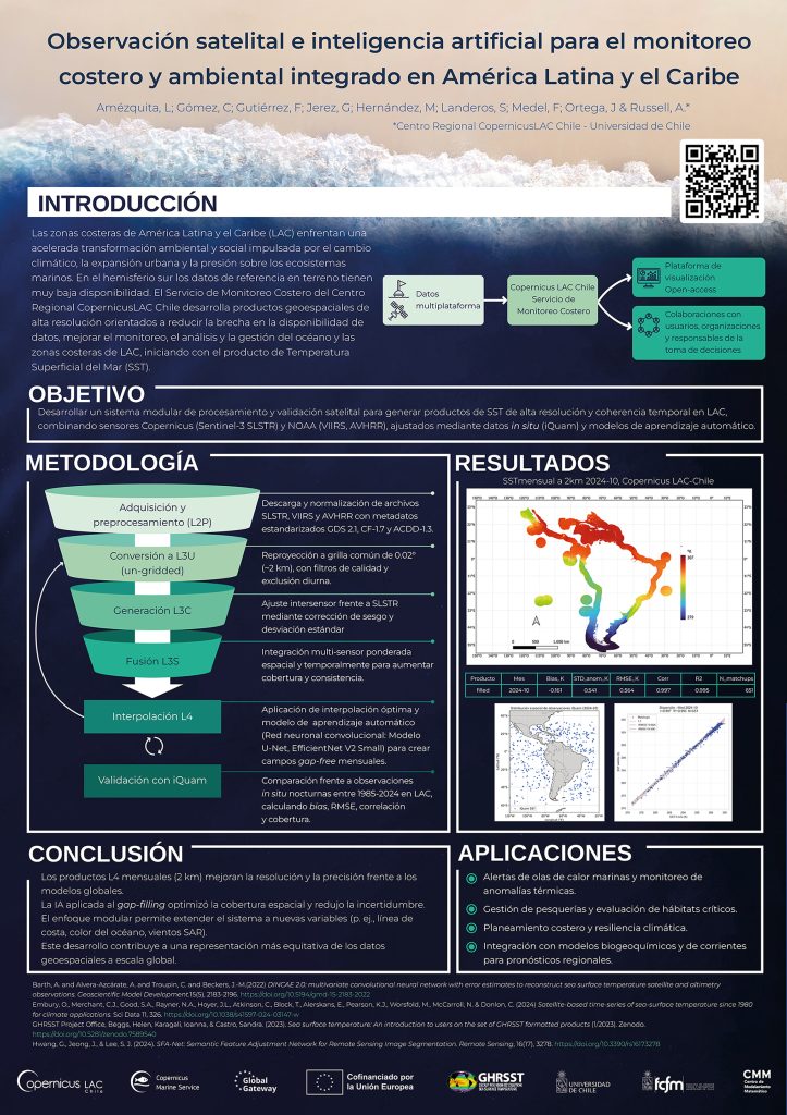
Among the posters presented on Friday, November 7, one that stood out was from the CopernicusLAC Chile Geomatics team, presented by Marina Hernández, a specialist in Remote Sensing (Oceans), who presented the work entitled: “Artificial Intelligence (AI) and Data Science Applied to Urban, Terrestrial, and Coastal Monitoring from LAC-Chile: Integrated Geospatial Services for Latin America and the Caribbean.”
Of the 15 thematic lines of the SOCHIGEO 2025 Congress, CopernicusLAC Chile participated in theme no. 12: “Data Science and Artificial Intelligence Challenging Geography” given that artificial intelligence, data science, and satellite imagery constitute the technological basis of the Center’s three main services: Land Cover and Land Use, Urban Atlas, and Private Cloud. This participation allowed for the comprehensive positioning and visibility of the products developed by the Center, showcasing their cross-cutting relevance in different areas of geography and territorial management.
According to Marina Hernández, “the public showed great interest in the regional applicability of the services; many attendees even expressed their desire to access the available products. In particular, there were numerous inquiries about the services currently active and great anticipation for the launch of the Ocean Coast Monitoring Service, scheduled for 2026”.
During the exhibition, questions also arose about the spatial resolution of the products, the open availability of data and APIs, validation methods with in situ data, and specific applications. “Especially in relation to sea surface temperature, several attendees asked whether the spatial resolution would allow the detection of pollution processes such as those generated by thermoelectric power plants through their discharges,” added Hernández.
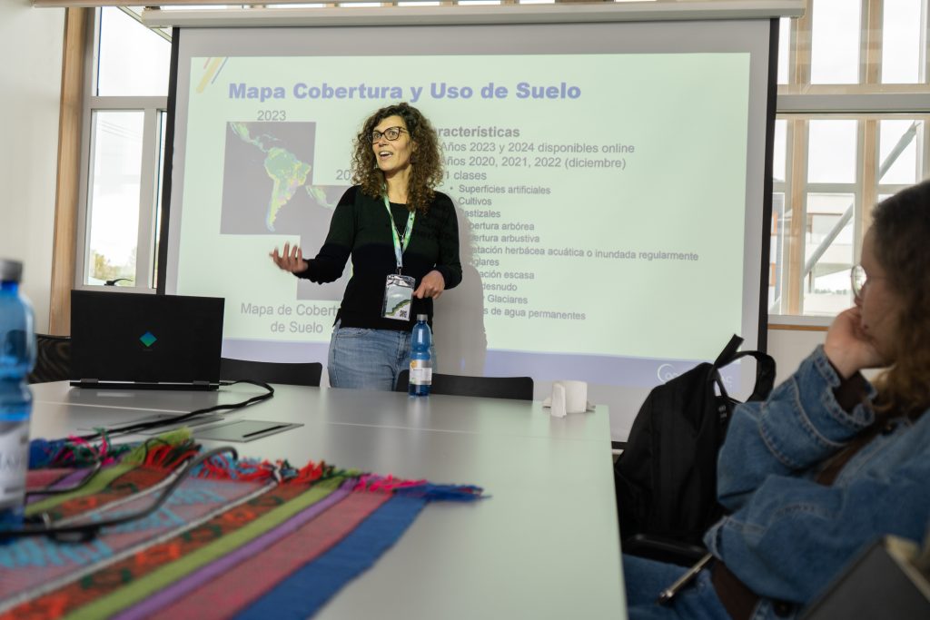
The diversity of presentations and discussion panels created a valuable space for exchange that connected Marina Hernández’s work with other lines of research presented at the Congress. “In particular, discussions stood out on training artificial intelligence for specific uses, its ethical and responsible use, and the need to strengthen open data infrastructure in Latin America. Most of the talks I attended offered an enriching insight into the applicability of the products we develop at CopernicusLAC Chile. The work focused on geography and urban climate, environmental modeling, and climate change broadened my understanding of the possible scenarios for using our geospatial services and how they can be integrated into different areas of research and territorial management,” said the specialist.
CopernicusLAC Chile’s participation in this meeting strengthened its ties with the national and international geographic community and reaffirmed its commitment to applied research in Earth observation, promoting collaboration between academia, science, and technology to address the region’s environmental and territorial challenges.
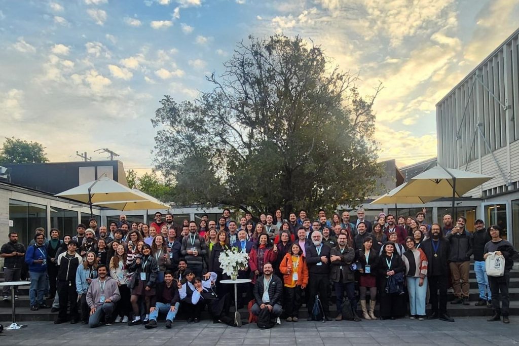
Group image credits: SOCHIGEO