On Thursday 15 May, an initiative to create the “Mirador Copernicus” was announced. Promoted by the European Union in Chile and the mim, with the collaboration of Copernicus LAC Chile, the initiative will seek to bring Copernicus data closer to the public, and to publicise the services that this programme offers to Chile and the Region.
Inspired by the European Space Agency (ESA) visitor centre in Frascati, Italy, and adapted to the mim interactive model, the space will offer an immersive experience to understand how satellites and space technologies contribute to the monitoring of our planet. A key aspect of the project is the support of the Copernicus LAC Chile Regional Centre, which will guarantee the scientific validity of the content presented.
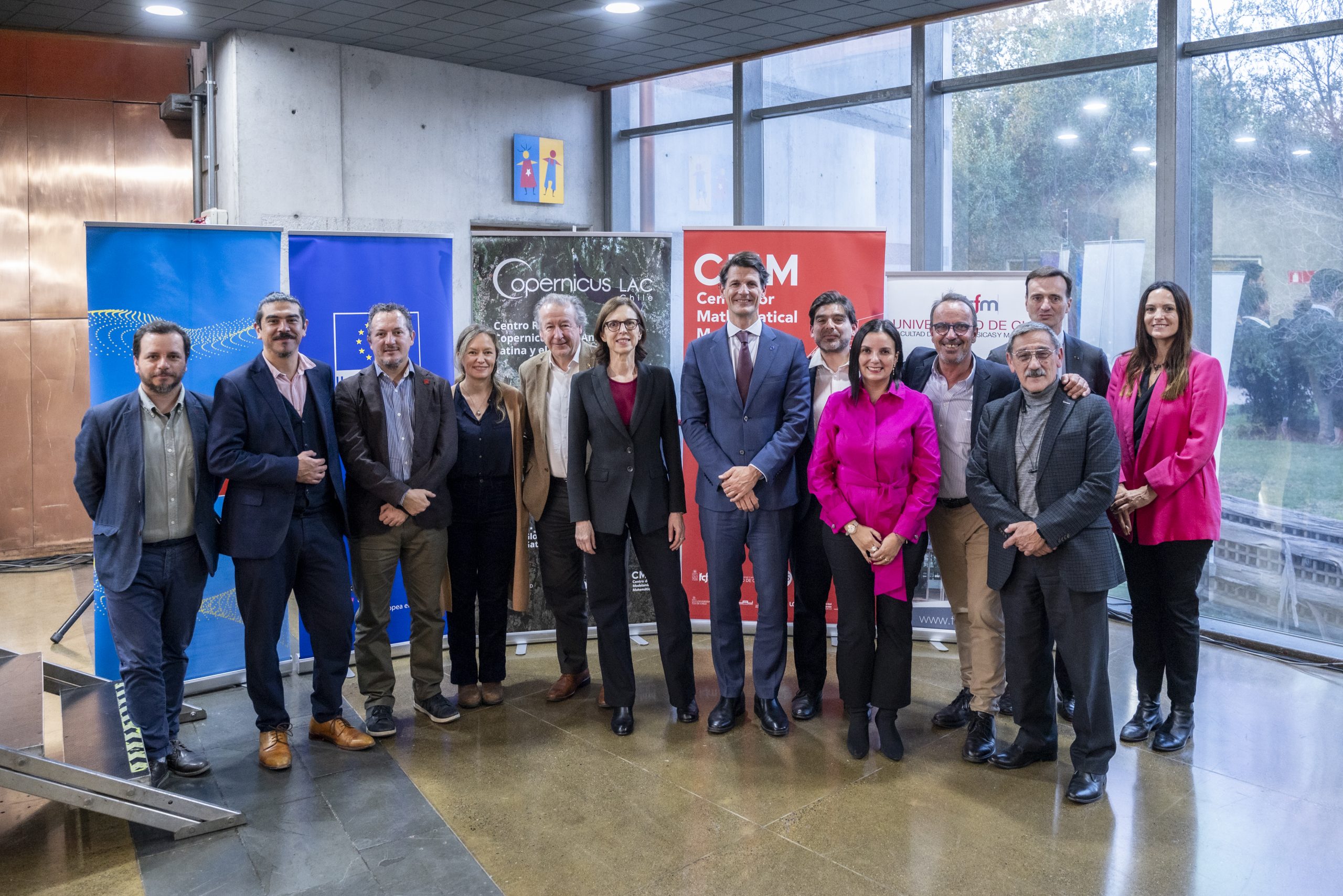
The event, held in the framework of the visit to Chile of Pelayo Castro, Director for the Americas at the European External Action Service, included a presentation of the work of Copernicus LAC Chile, a project implemented by the Center for Mathematical Modeling (CMM) of the Universidad de Chile, and brought together representatives of EU, Latin American and Caribbean embassies present in Chile, government authorities, the scientific community and interested members of the public.
Framed within the EU-LAC Digital Alliance, the initiative will be funded by the European Union to the tune of EUR 1 million and aims to create a transformative space within the mim. The Mirador will allow visitors to interact in an active and accessible way with satellite data from the EU’s Copernicus programme. The design of the space is expected to begin in the second half of this year and could open to the public during 2026.
“The European Union strongly believes in the importance of democratic accessibility to information” said Pelayo Castro. “Copernicus data is a common good, offered freely and openly, because we believe that knowledge should be accessible to all. We hope that this interactive centre will be a testament to how science, when presented in an accessible way, promotes a more aware and committed citizenship for sustainability”.
“For the Museo Interactivo Mirador, this partnership represents a unique opportunity to bring space science and Earth observation to the public. We are convinced that knowledge, when linked to experience, has the power to inspire and transform. This project not only strengthens our educational mission, but also positions us as a bridge between global science and local wonder” said Enrique Rivera, Executive Director of mim.
During the event, the relevant work that the Copernicus LAC Chile Centre is developing for Chile and the region was also presented to the invited diplomatic representatives, including the Urban Atlas service, the Land Cover and Land Use Map and a future Ocean Observation service. There was a palpable interest and anticipation for the interactive and educational experience that the future interactive space on Copernicus will offer, as well as for the concrete services based on which the Centre is developing.
The presentation was attended by representatives of the EU Delegation in Chile, the mim and the Copernicus LAC Chile Centre, who highlighted the value of the collaboration and the potential of the project to bring Earth observation science closer to the general public and decision-makers in the region.
Meanwhile, the director of Copernicus LAC Chile, Florencio Utreras, said that “for us it is very important to bring Earth observation mechanisms to the general public, so this initiative is key to publicise the work we are developing from Chile for all of Latin America and the Caribbean, providing services and information on terrestrial and marine ecosystems for free”.
This launch event marks an important step in democratising access to geospatial information and fostering a greater understanding of how Copernicus data can help address our current and future challenges.
About Copernicus
Copernicus is an Earth observation programme of the European Union that provides accurate, up-to-date and freely accessible data on the planet and its environment. It uses a combination of satellites (especially those of the Sentinel family) and ground, airborne and maritime measurement systems to monitor phenomena such as climate change, air quality, oceans, land use or natural disasters. This information is essential to support decision-making in areas such as environmental protection, emergency management and urban/agricultural planning.