The initiative is funded by the Chile-European Union Triangular Cooperation Joint Fund, part of the EU’s ADELANTE 2 Program, aimed at supporting the 2030 Agenda in Latin America and the Caribbean.
The European Union (EU) and Chile, through the Chilean Agency for International Development Cooperation (AGCID) and the Center for Mathematical Modeling at the University of Chile, have launched the project “Information System for Salt Flats Monitoring.” The project’s goal is to study the impact of the lithium industry in the Andean region of South America by assessing the reduction in aquifer storage capacity. This allows for determining groundwater depletion rates and evaluating the impact of mineral extraction on these ecosystems.
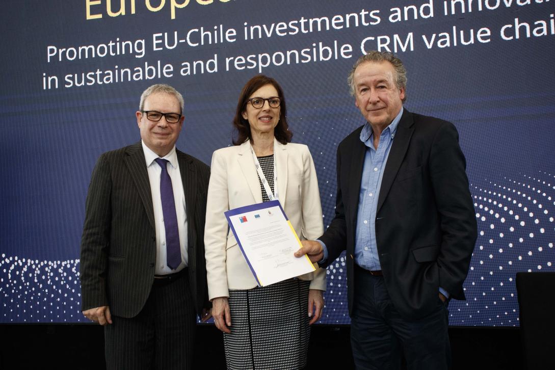
This initiative is funded by the Chile-European Union Triangular Cooperation Joint Fund, under the ADELANTE 2 Program, and is led by the Center for Mathematical Modeling at the University of Chile and the Copernicus Regional Center for Latin America and the Caribbean (CopernicusLAC Chile), in collaboration with partner entities such as the National University of Córdoba (Argentina) and the Regional Center for Groundwater Management in Latin America and the Caribbean (Uruguay). The launch took place during the “Sustainable Value Chains and Critical Raw Materials” Seminar, which seeks to promote investment and innovation between the EU and Chile in sustainable and responsible critical raw material value chains.
The project launch included participation from Félix Fernández Shaw, Director for Latin America and the Caribbean at the European Commission’s Directorate-General for International Partnerships; Enrique O’Farrill, Executive Director of the Chilean Agency for International Development Cooperation; and Francisco Martínez, Dean of the Faculty of Physical and Mathematical Sciences at the University of Chile, among other academic, scientific, and research authorities.
According to the project director, Jaime Ortega—scientific director of CopernicusLAC Chile and principal researcher at CMM—“This work aims to analyze the salt flats using satellite tools, such as the Copernicus program, to establish baselines for undisturbed ecosystems, enabling us to evaluate the impact of lithium extraction. It also promotes regional cooperation through two training schools for professionals, one in Chile and another in Uruguay or Argentina, scheduled for 2024-2025, thus strengthening advanced human capital in the region.”
“This initiative is highly significant as it connects two priority agendas of EU-Chile cooperation: sustainable value chains for critical raw materials and the digital agenda. The use of data from the EU’s Copernicus satellite system enables monitoring of environmental variables in the Andean salt flats, home to the world’s largest lithium reserves. This also supports an environmental perspective to ensure that the Global Gateway investment agenda is sustainable, in line with the European Green Deal priorities,” said Félix Fernández Shaw.
Meanwhile, the AGCID Executive Director explained, “This project will allow professionals from various academic institutions in Latin America and Europe to share their experience and knowledge through satellite data analysis, enhancing their technical capacities and building a collaborative network dedicated to addressing the environmental challenges associated with lithium mining in a more coordinated and effective manner. This exchange of best practices, data, and experience will undoubtedly improve countries’ ability to monitor and manage their natural resources.”
About the Project
The Andean salt flats of South America hold around 50% of the world’s lithium reserves, a strategic material for the energy transition and a key factor in the fight against climate change. However, monitoring these ecosystems is critical due to the potential impact of lithium extraction on groundwater, flora and fauna, and surrounding communities, given potential water shortages. In the long term, it may also affect soil stability due to possible changes in geological composition and structure.
Therefore, this project plans to develop a monitoring system for the Atacama, Hombre Muerto, Ollahue, and Ascotán salt flats, considering surrounding ecosystems and using satellite images to track the area and identify changes over time. The system will be operated through the Copernicus Regional Center for Latin America at the Faculty of Physical and Mathematical Sciences (FCFM) of the University of Chile, alongside project partners such as the University of Córdoba, which actively collaborates with Argentina’s National Commission for Space Activities (CONAE); and the Regional Center for Groundwater Management for Latin America and the Caribbean (CEREGAS) in Uruguay.
European institutions will contribute satellite imagery from other constellations and the development of algorithms for geospatial analysis of the ecosystems under study. Additionally, experts mainly from the University of Barcelona, the University Federico II di Napoli, and the Institute of Environmental Assessment and Water Research (IDAEA) of the Spanish National Research Council (CSIC) will participate in the project’s outreach and training activities.
The main project activities include fieldwork in the salt flats for on-site measurements, developing a monitoring methodology for extreme environments and water resources based on remote sensors, and training advanced human capital beyond academia in the region. Regional workshops and outreach materials will also be organized and made available on the ADELANTE 2 Program website.
Communications: Delegation of the European Union in Chile, Center for Mathematical Modeling, and CopernicusLAC Chile.