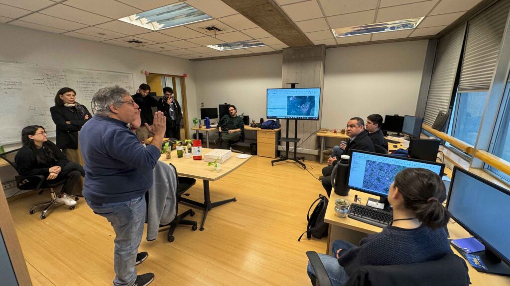
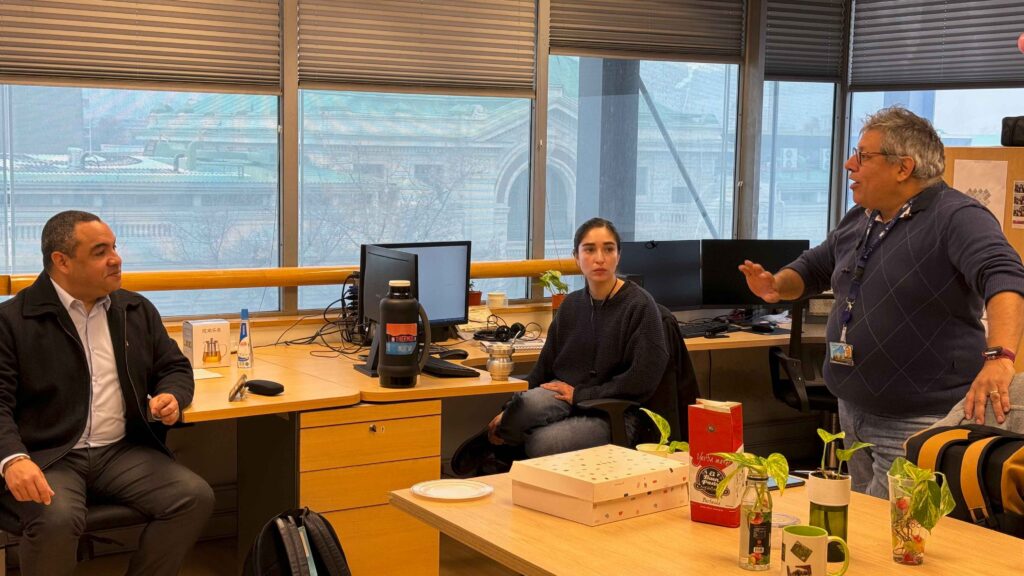
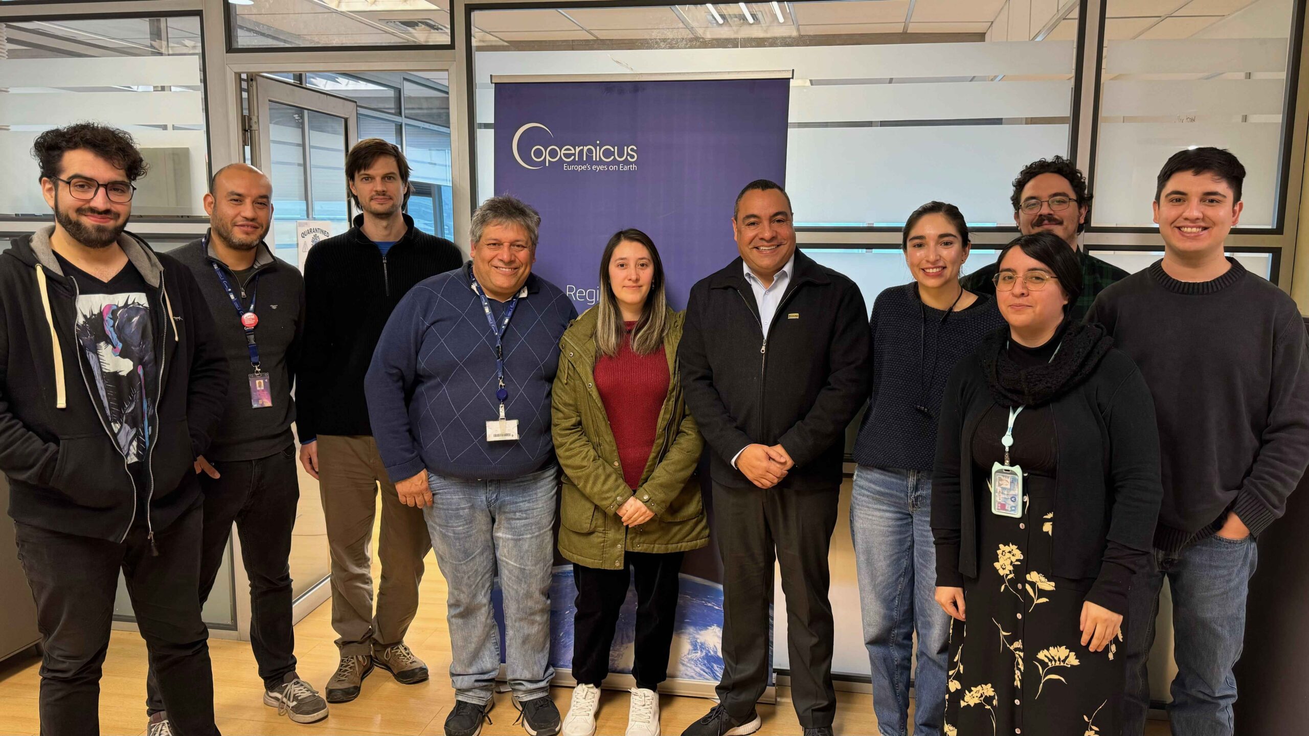
Jair Urriola Quiroz, representative of the Central American Commission for Environment and Development (CCAD), recently visited the premises of the Copernicus Regional Centre for Latin America and the Caribbean (CopernicusLAC Chile). There, he was able to see first-hand the work carried out by the project, which will soon begin to provide storage, processing and distribution services of satellite data from the European Union’s Copernicus Programme for the benefit of all countries in Latin America and the Caribbean.
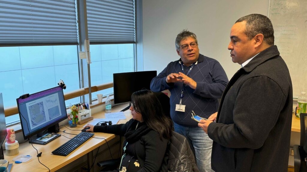
The CCAD executive secretary was received by Jaime Ortega, scientific director of CopernicusLAC Chile, professor and principal investigator at the Center for Mathematical Modeling (CMM) of the University of Chile, the entity that executes the project.
Professor Jaime Ortega said, ‘We had a very pleasant conversation, in which he was able to appreciate the great potential for collaboration between CCAD and our project. The maps of land use and land change can help to understand problems that affect Central America, such as deforestation, water and marine resource management and environmental care.
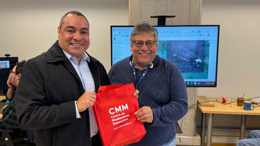
Jair Urriola was satisfied with the visit. ‘It has been a crucial experience for our region of Central America, as it allows us to learn about the progress of the CopernicusLAC Chile Centre. This collaboration will help us in key areas such as soil mapping and digitisation, water resource management and the creation of sustainable cities, in addition to strengthening our five lines of environmental work: water security, climate change and risk management, sustainable forests and landscapes, and environmental quality. Today, more than ever, reliable data is vital for decision-making, for monitoring, reporting and verifying compliance with our environmental commitments, and even for cooperation management,’ he emphasised.