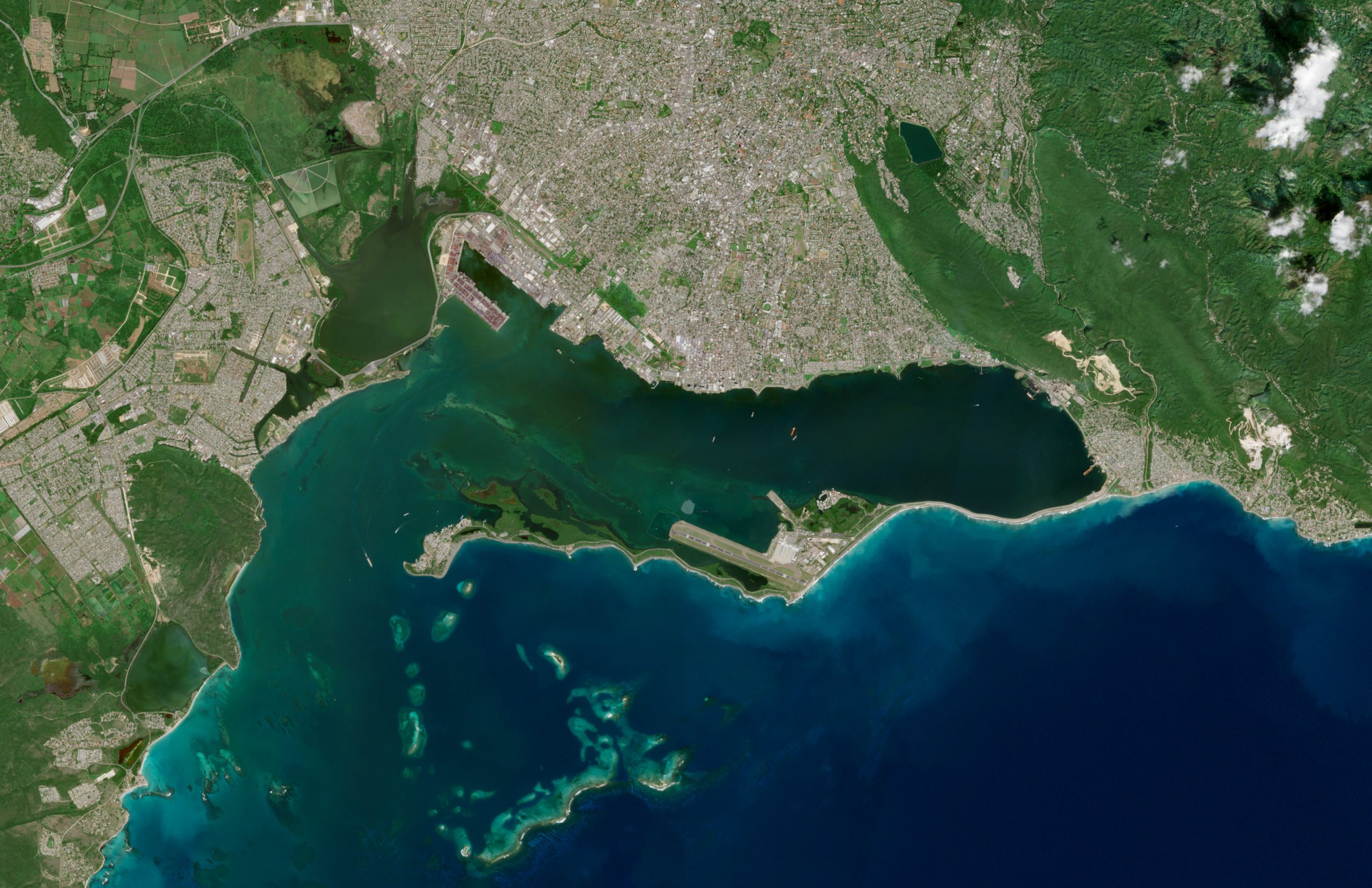
This satellite image shows Kingston Harbour, the capital of Jamaica and one of the Caribbean’s main natural harbours. The sheltered bay makes it possible to identify port infrastructure and vessels within the harbour, visible at this scale using Sentinel-2 imagery. To the south-east, Norman Manley International Airport can be recognised, located on the Palisadoes isthmus. Variations in water colour allow shallow areas and zones where the sea interacts with the coastline to be distinguished, reflecting the coastal dynamics characteristic of this region of the American continent.
The image was acquired by the Sentinel-2 satellite on 23 January 2026 and is presented in natural colour.