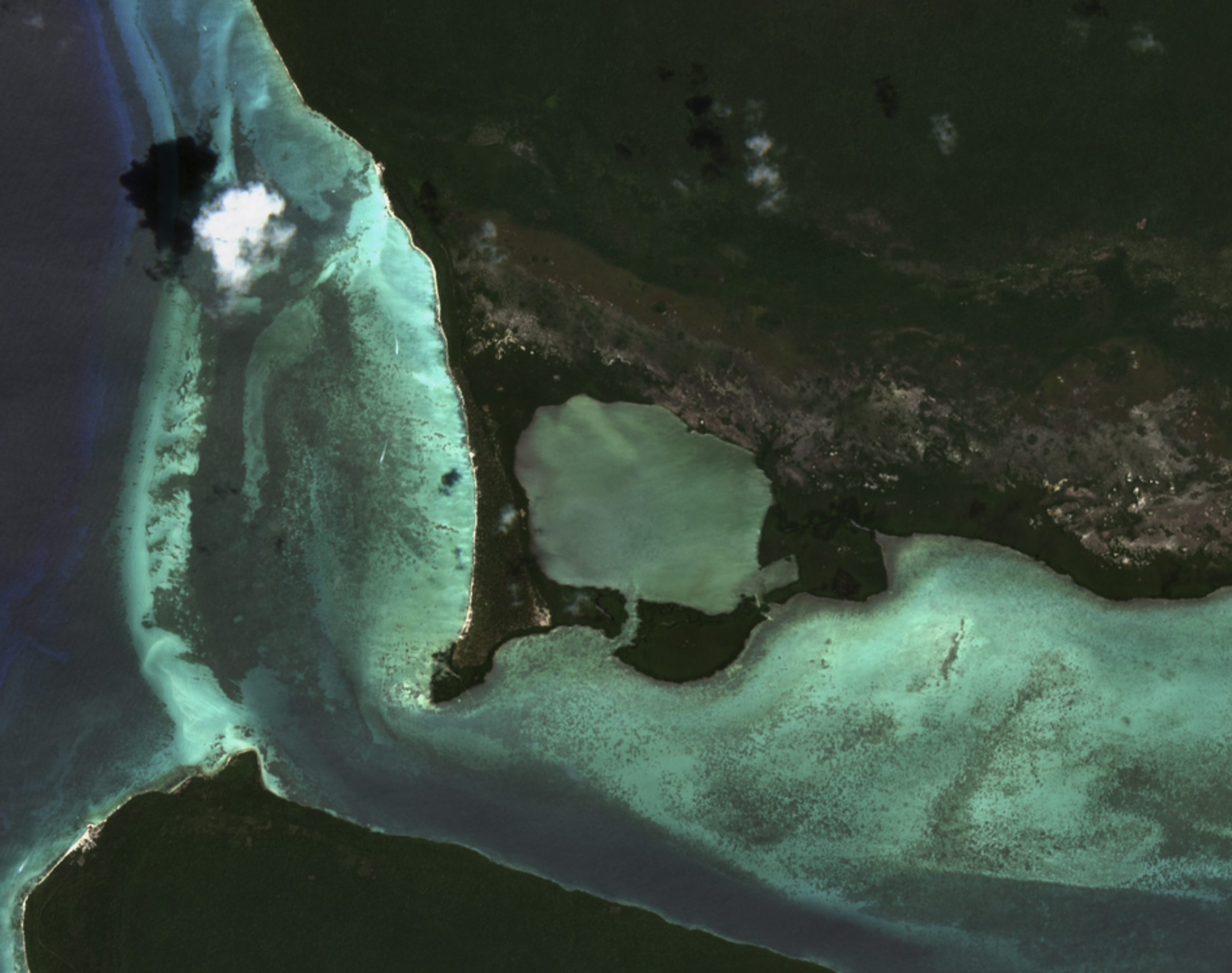
The image shows a section of Cotubanamá National Park, located in the southeastern corner of the Dominican Republic. Covering an area of 791 square kilometres, the park is home to a remarkable diversity of landscapes including beaches, caves, mangroves and subtropical forests.
The park is named after the Taino chief Cotubanamá. The Tainos were one of the main original peoples of the Greater Antilles, including the island of Hispaniola, where Haiti and the Dominican Republic are today.
The image was captured on 30 January 2025 by the Sentinel-2 L2A satellite, in true colour. It was processed by Sebastián Landeros, project engineer at CopernicusLAC Chile.