Search
Copernicus Seminars
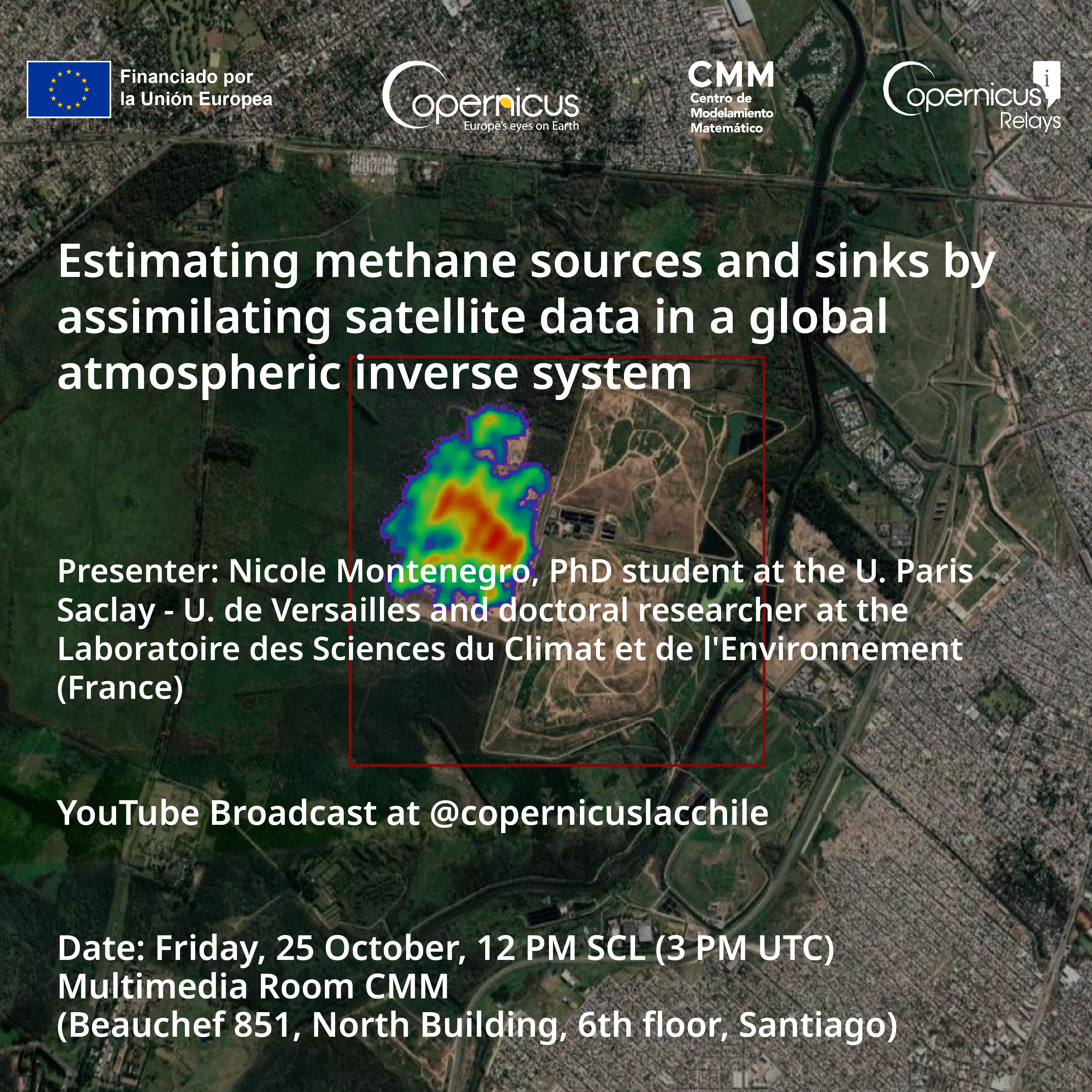
Estimating methane sources and sinks by assimilating satellite data in a global atmospheric inverse system
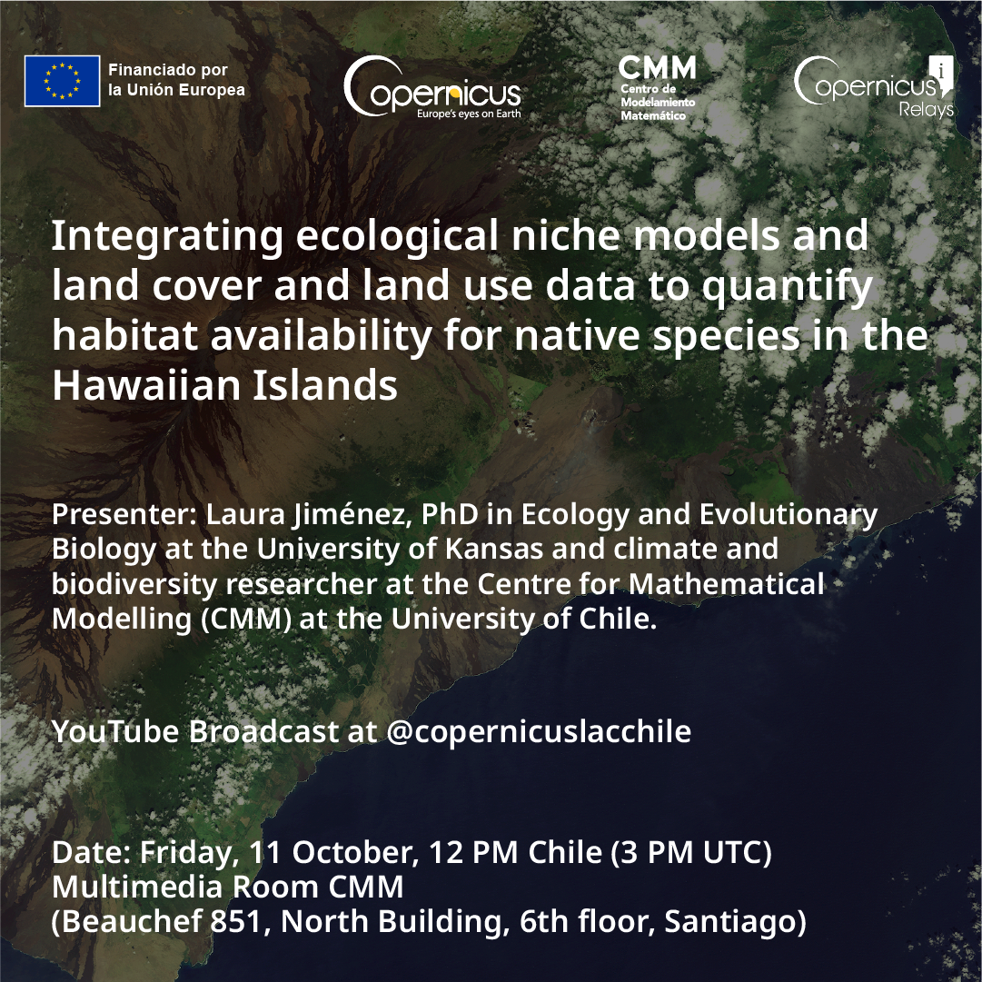
Integrating ecological niche models and land cover and land use data to quantify habitat availability for native species in the Hawaiian Islands
Conceptual and methodological basis for monitoring forests and other land covers in Central America using the Copernicus Spatial Data Ecosystem.
Subnational maturity in geospatial and earth observation management: Case studies and analysis model for Latin America
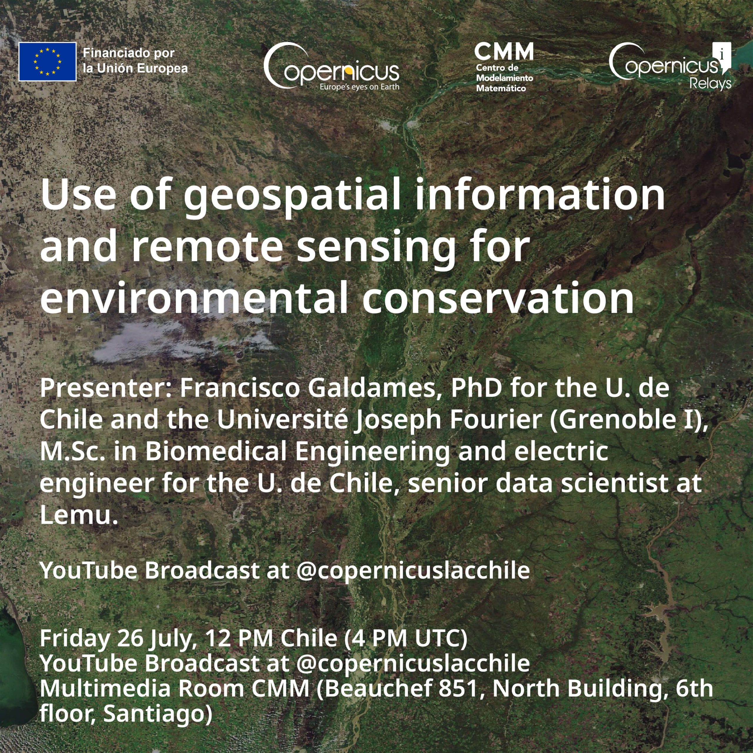
Use of geospatial information and remote sensing for environmental conservation
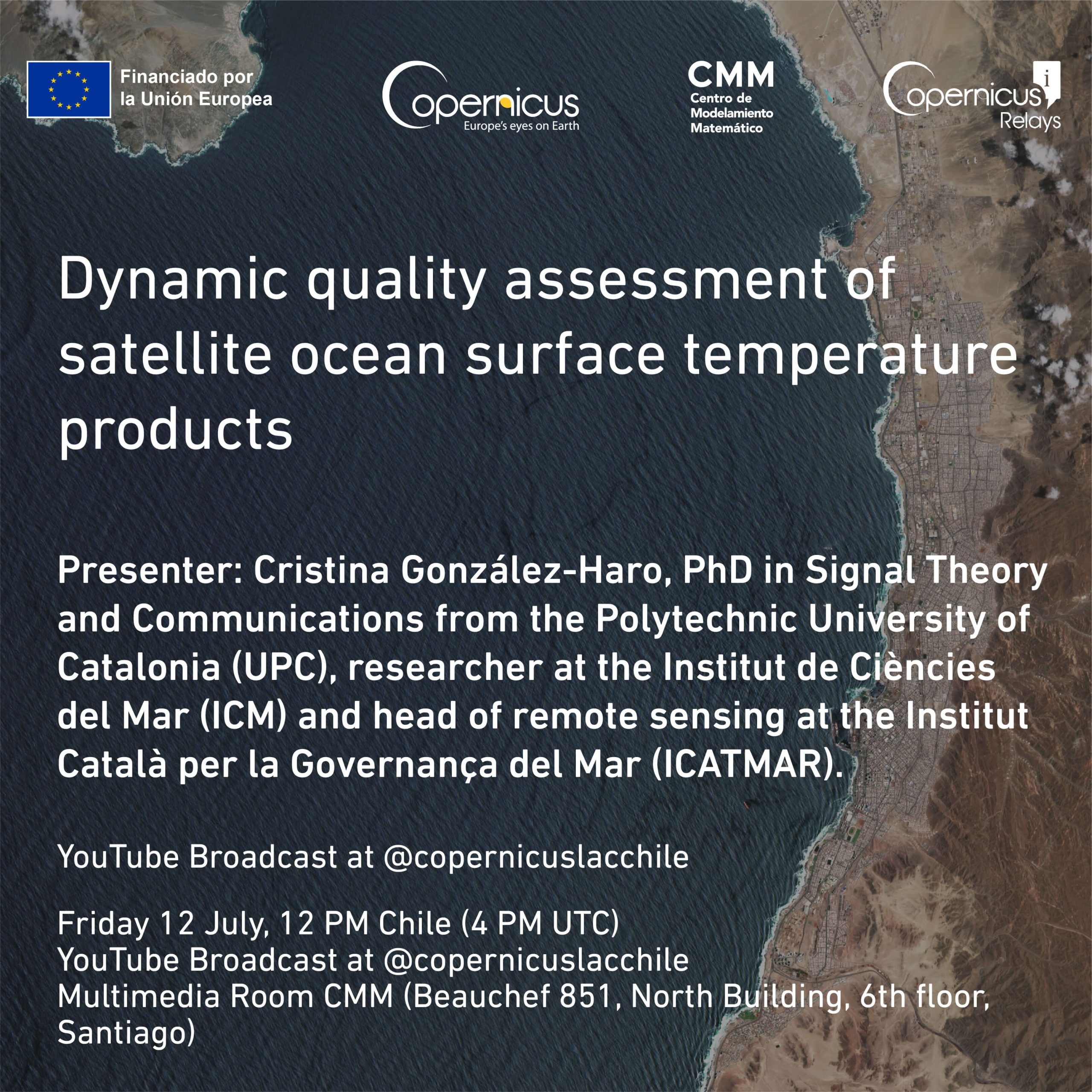
Structural and Dynamical Quality Assessment of Gap-filled Sea Surface Temperature Products
Use of Geospatial Information and Remote Sensing for Environmental Conservation
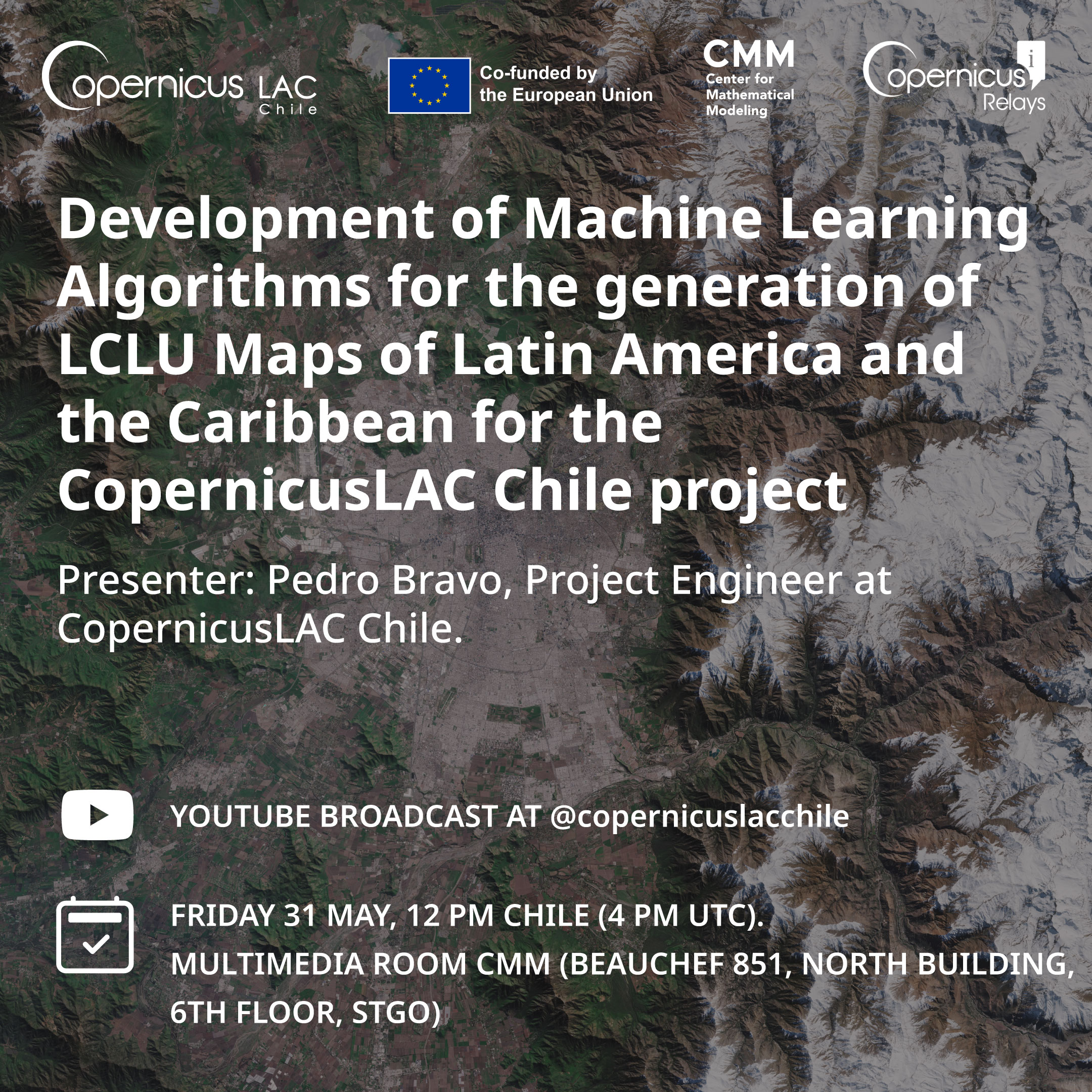
Development of Machine Learning Algorithms for the Generation of LCLU Maps of Latin America and the Caribbean for the CopernicusLAC Chile Project.
Phenological Metrics and Trend Analysis Obtained from Spectral Vegetation Indices as Tools for Classification And Continuous Monitoring of Vegetation at Multiple Scales.
Previous Page