Search
All Events
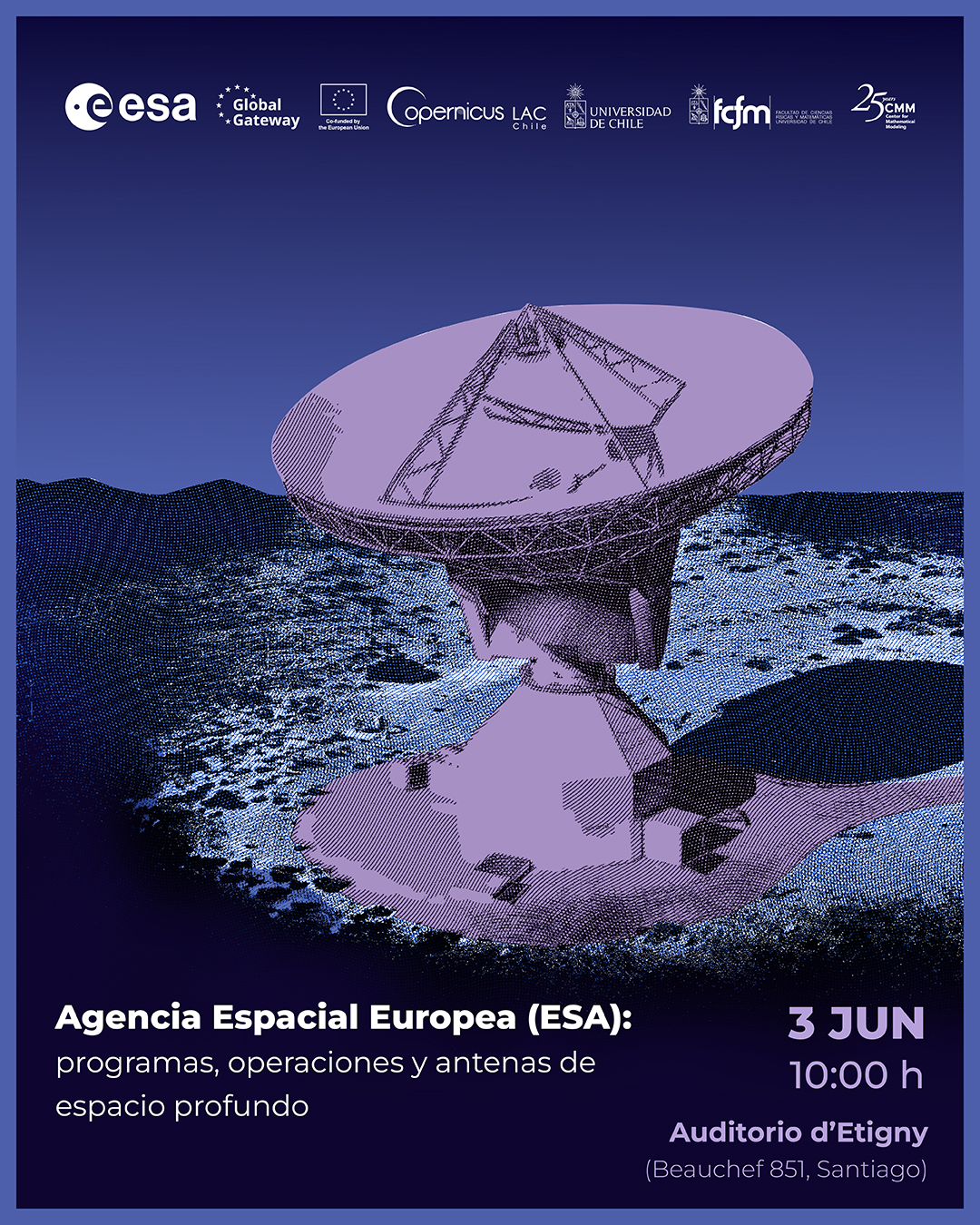
“European Space Agency (ESA): deep space programmes, operations and antennas”
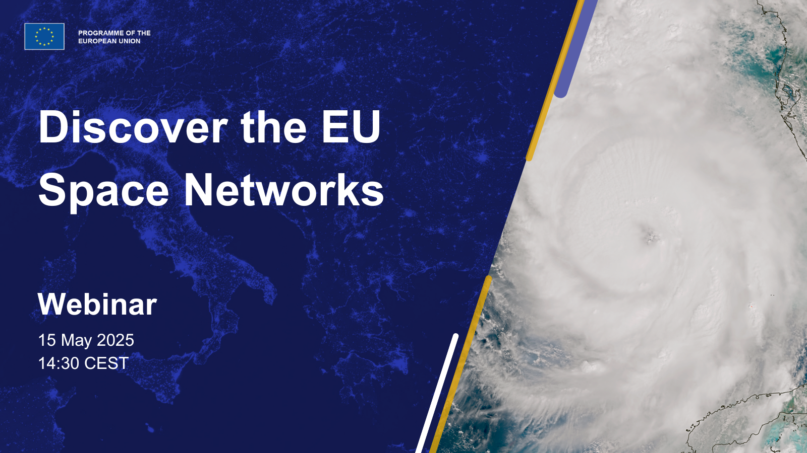
Webinar: Discover the EU Space Networks
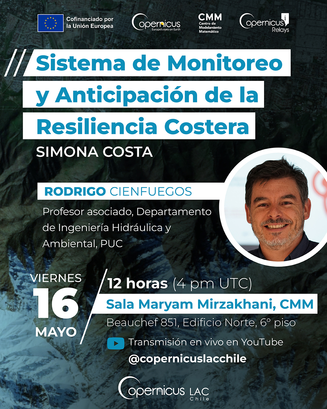
Copernicus Seminar: Monitoring and Anticipation System for Coastal Resilience – SIMONA Costa
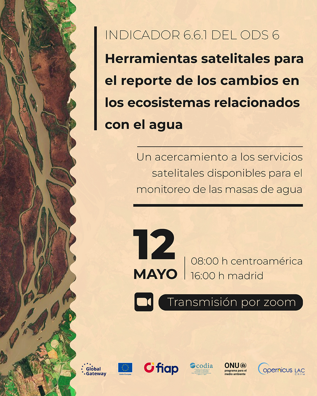
Webinar ‘Satellite tools for reporting water-related ecosystem changes’
Copernicus Seminar: Earth observation data to assess the impact of climate change on land use changes in Chile
Copernicus Seminar: SNOWCOP: unlocking the full potential of Copernicus data and infrastructure to improve meltwater monitoring in the Andes
Copernicus Seminar: The use of satellite imagery in Argentina, applications in urban areas
Copernicus Seminar: AQS2GEE: application for mapping burned areas using Sentinel-2 and Google Earth Engine
Copernicus Seminar: Time Series Derived from Spectral Indices for Vegetation Monitoring in Mexico
EU Space Webinar – The Copernicus Data Space Ecosystem (CDSE) – The OpenEO API
Previous Page
Next Page