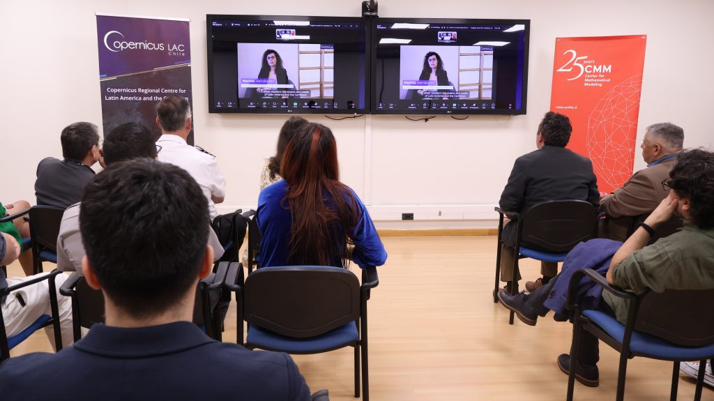
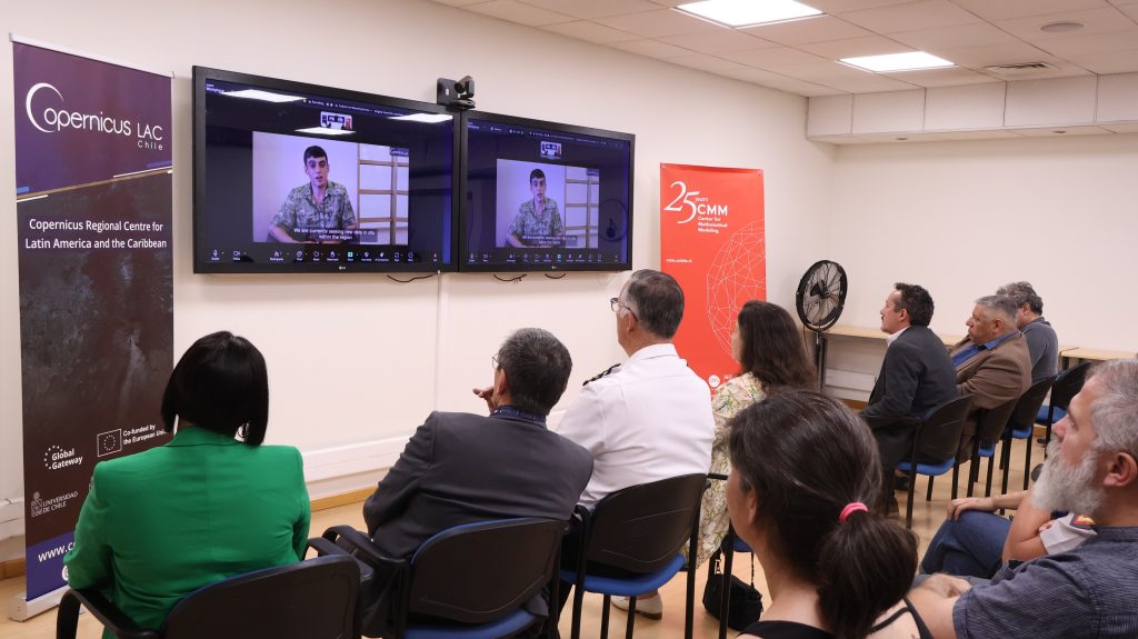
Last Friday, January 23, CopernicusLAC Chile officially launched its new Coastal Monitoring service, an initiative that opens up new horizons for characterizing ocean and coastal dynamics in Latin America and the Caribbean. This service provides consistent, up-to-date, and traceable scientific information to support analysis, planning, coastal management, and decision-making processes by public, private, and academic institutions.
The service adapts and regionalizes Copernicus Marine Services, integrating multi-source satellite information with in situ data and advanced spatial and temporal analysis methodologies, allowing ocean and coastal processes to be addressed from a regional perspective and with high scientific quality.
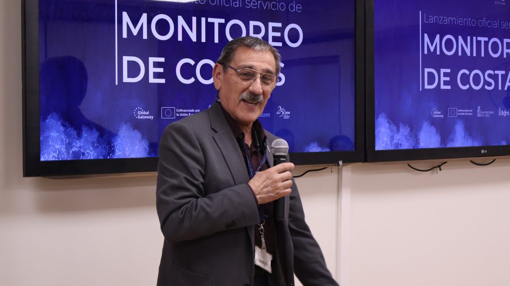
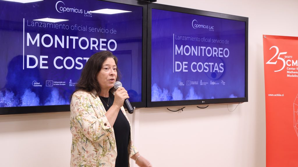
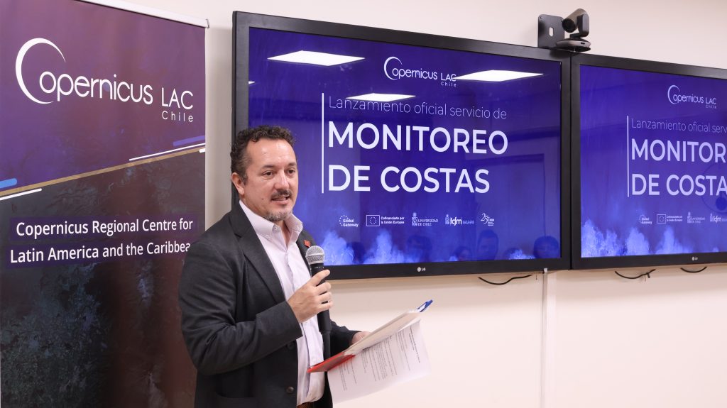
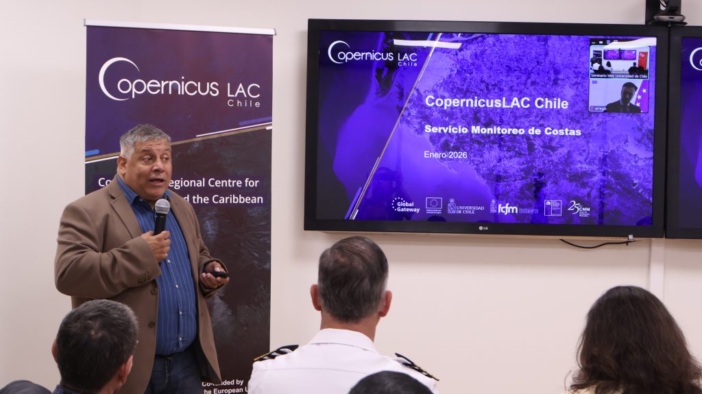
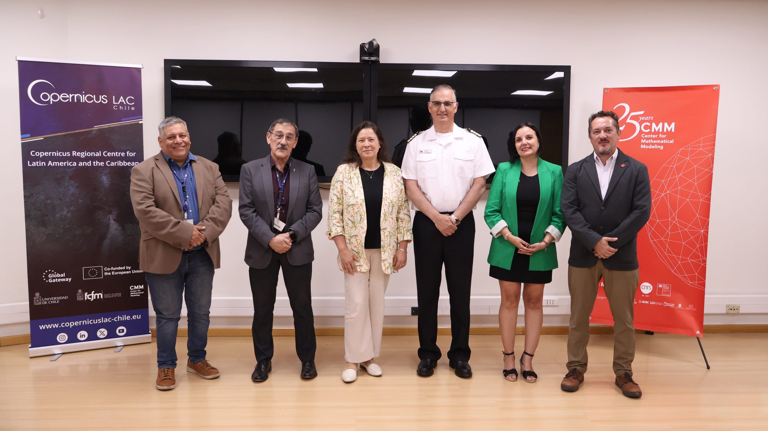
The event was attended by representatives from the University of Chile, the European Union, and CopernicusLAC Chile, including Professor Marcela Munizaga, Vice Dean of the Faculty of Physical and Mathematical Sciences (FCFM) at the University of Chile; Professor Héctor Ramírez, Director of the Center for Mathematical Modeling (CMM); Professor Alejandro Maass, Director of International Relations at the CMM; Javier Arregui, First Counselor at the European Union Embassy in Panama and Coordinator for Latin America and the Caribbean for cooperation on digital and space issues; Gonzalo Espinosa Doggenweiler, head of the Chilean Navy’s meteorological service; Professor Florencio Utreras, director of CopernicusLAC Chile; Professor Jaime Ortega, scientific director of CopernicusLAC Chile; and Macarena Pérez, executive coordinator of CopernicusLAC Chile.
The vice dean of the FCFM, Marcela Munizaga, emphasized that “for the FCFM, CopernicusLAC Chile represents a very valuable and extremely important endeavor, as these types of products have a major impact on the scientific world, for example, in monitoring climate change. I am sure that these tools will be very relevant in generating significant changes in modeling, predictions, and the way we address these challenges from different disciplines.”
The data provided by this service will strengthen coastal management and planning, as well as systematic monitoring of the state of the ocean, taking into account regional variability. In addition, it provides key inputs for land-use planning, climate change adaptation, and risk management; supports the monitoring of marine ecosystems, primary productivity, and environmental conditions relevant to fisheries and aquaculture; and contributes to local capacity building through the use of scientifically validated, open-access information.
The service map considers two key variables for coastal monitoring in Latin America and the Caribbean: Sea Surface Temperature (SST), as a monthly reference field without the influence of the diurnal cycle, and Chlorophyll-a (Chl-a), used as an indicator of phytoplankton biomass and primary productivity.
Its development was based on advanced processing of multisensor satellite images (SLSTR, VIIRS, AVHRR, MODIS, and OLCI), integrating regional in situ data—such as buoys, tide gauges, and coastal stations—the application of hybrid models that combine spatiotemporal interpolation and deep learning, and the use of international standards that ensure consistency and traceability.
In this regard, Jaime Ortega, scientific director of CopernicusLAC Chile, pointed out that “the important thing is that, through collaboration with Latin American and Caribbean countries, common needs are defined and a product with regional impact is generated.”
For his part, Javier Arregui, First Counselor of the European Union Embassy in Panama, indicated that “the launch of this service is the result of our first project within the framework of the digital alliance in Earth Observation with the University of Chile, and based on its results, we plan to extend and deepen it through a multimedia exhibition at the Copernicus Observatory.”
With this new Coastal Monitoring service, CopernicusLAC Chile reaffirms its commitment to strengthening Earth observation in the region, promoting access to high-quality scientific information and fostering international cooperation. The initiative is projected as a strategic tool for addressing current and future environmental challenges, contributing to more informed, sustainable, and resilient coastal management in Latin America and the Caribbean.