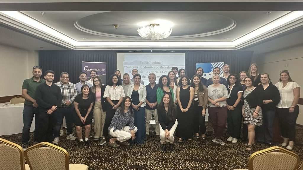
From November 25 to 27, the regional workshop “Salt Flat Monitoring System and Tools for Integrated Water Resource Management” was held in Montevideo, Uruguay. The activity is part of the “Information System for Salt Flat Monitoring” project, a Triangular Cooperation initiative of the European Union’s ADELANTE 2 Program that seeks to strengthen regional capacities for the analysis and monitoring of salt flat ecosystems in the so-called “Lithium Triangle.”
A regional initiative to strengthen salt flat monitoring
The project is coordinated by the Center for Mathematical Modeling (CMM) and the Department of Geology at the University of Chile, in collaboration with the National University of Córdoba (Argentina), the CopernicusLAC Chile project, and the Regional Center for Groundwater Management in Latin America and the Caribbean (CeReGAS, Uruguay). It also has the scientific support of European institutions such as the University of Barcelona, the University Federico II di Napoli, and the Institute of Environmental Assessment and Water Research (IDAEA–CSIC).
The workshop aimed to promote knowledge exchange and training in satellite observation techniques, artificial intelligence, and geospatial analysis applied to the monitoring of salt flats and aquifers. All of this contributes to the sustainable management of water resources in South America, especially in areas of high strategic interest due to their potential for lithium extraction.
A meeting point for scientific and technical cooperation
This second version of the workshop—the first was held in Santiago, Chile, in October—consolidates the project as a key space for scientific and technical cooperation on Earth observation applied to salt flat ecosystem management.
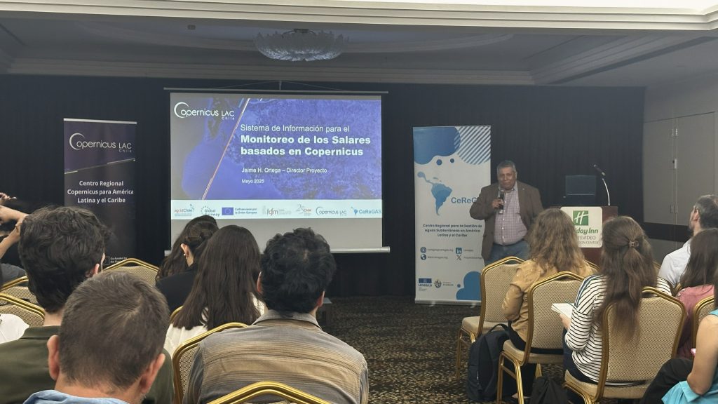
“The workshop allowed us to bring together specialists from Uruguay, Paraguay, Argentina, Ecuador, Colombia, and other countries. One of the main objectives has been to strengthen collaboration networks and showcase the potential of satellite imagery for the study of hydrogeology. The reception has been very positive, and a technical community has been created that we hope will continue over time to share and discuss hydrogeology and hydrogeochemistry,” said Jaime H. Ortega, project director.
Linda Daniele, alternate project director and academic at the Department of Geology at the University of Chile, commented that “this workshop has been an opportunity to share with colleagues and students from different countries who are interested in learning about the combined use of remote observation technologies coupled with direct observation in the field. In my case, I have provided an overview of the use of physicochemical data to clarify complex processes related to the functioning of complex ecosystems, such as salt flats. It has been very gratifying to share the different experiences and perspectives of the different countries, expanding and strengthening knowledge and networks and a regional vision of future challenges. In short, this workshop has enabled us to fulfill one of the pillars of the Adelante 2 fund: international cooperation and the dissemination of advanced knowledge in the region“.
In turn, Alberto Mangarelli, director of the Regional Center for Groundwater Management in Latin America and the Caribbean (CeReGAS), highlighted that “the workshop was an extremely enriching event, bringing together specialists and institutions from the region to strengthen capacities in the analysis and sustainable management of the salt ecosystems of the Lithium Triangle. As the host institution, we highlight the value of this space for exchange, which allowed us to strengthen our regional role as a center of reference in groundwater management and to reinforce technical capacities in hydro-environmental monitoring and the application of integrated water resource management tools. The diversity of perspectives and collaborative work highlighted the importance of advancing common methodologies, improving the availability of information, and strengthening international cooperation for the protection of these strategic systems.
Regional participation
Professionals receiving scholarships from AGCID participated in this event, along with attendees from various institutions in the region. From Argentina, representatives attended from the Directorate of Industries, Hydrocarbons, and Mining; the Provincial Directorate of Water Resources of Jujuy; the Secretariat of Water Resources of Salta; the Provincial Administration of Water Resources of Córdoba; and the Faculty of Exact, Physical, and Natural Sciences of the National University of Córdoba. Chile was represented by specialists from the Production Development Corporation (CORFO), the Directorate of State Borders and Boundaries (DIFROL), the National Geology and Mining Service (SERNAGEOMIN), the Ministry of the Environment (MMA, Atacama region), and the General Water Directorate (DGA). Ecuador participated through the Military Geographic Institute.
Representatives from Uruguay included the National Directorate of Environmental Quality and Assessment and the National Water Directorate (Ministry of the Environment), the Spatial Data Infrastructure of Uruguay (IDE), the National Directorate of Land Management (Ministry of Housing and Land Management), the University of the Republic, and the Air Force. Colombia was represented by the Pontificia Universidad Javeriana de Cali. The Inter-American Development Bank (IDB) and the consulting firm Anddes also participated, enriching the technical exchange and regional collaboration.
This activity reaffirms the regional commitment to move towards more informed, collaborative, and sustainable management of water resources and strategic territories on the continent. The lessons learned, connections made, and methodologies shared during the workshop will enable further capacity building and progress toward common standards for hydro-environmental monitoring in the region, thereby strengthening technical cooperation and evidence-based decision-making.
Participation of CopernicusLAC Chile: applied science for the region
A team of five specialists from CopernicusLAC Chile traveled to Montevideo to share scientific advances, case studies, and technological tools developed by the Center to support environmental monitoring and land management.
Tuesday, 25: Geospatial infrastructure and services of the Center
- Sebastián Landeros, project engineer at CopernicusLAC Chile, presented “GeoCloud and value-added services for Latin America and the Caribbean,” highlighting the Center’s infrastructure and satellite data processing capabilities in the cloud.
Wednesday 26: Progress of the Salt Flats Monitoring Project
- Jaime Ortega, scientific director at CopernicusLAC Chile and leader of the Salt Flats Monitoring Project, presented the main results obtained through satellite analysis.
Thursday 27: Artificial intelligence and multitemporal analysis
The last day featured the largest number of presentations by the Center:
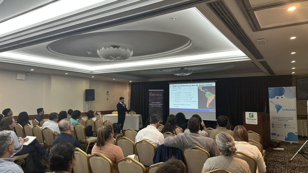
- Tamara Muñoz, project engineer and geomatics specialist at the Mathematical Modeling Center (CMM) of the University of Chile, presented “Multitemporal analysis using humidity and vegetation indicators for the characterization of salt flats.”
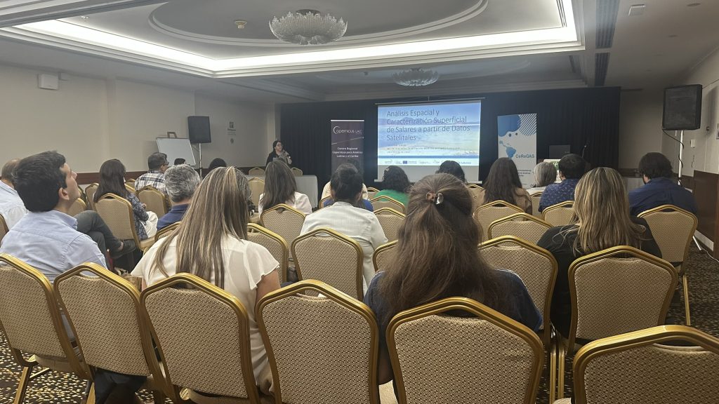
- Catherine Lemun, research assistant at the CMM, presented “Spatial Analysis and Surface Characterization of Salt Flats Based on Satellite Data.”
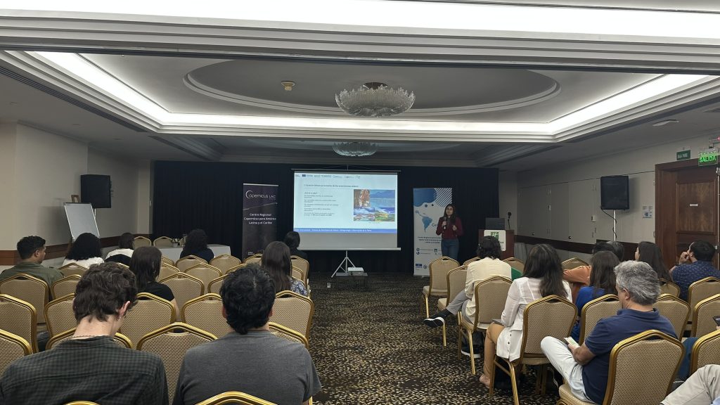
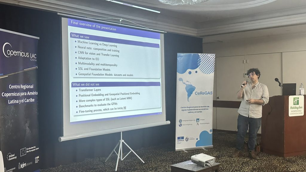
- Valentín Barriere, scientific advisor at CopernicusLAC Chile, closed the day with “Application of AI in Earth Observation Data.”
One step closer to strengthening the regional ecosystem
“CopernicusLAC Chile, through its land cover and land use map, allows for the monitoring of key components of salt flats, such as their water bodies and associated vegetation. With annual updates, it is possible to assess interannual changes in the surface area of these ecosystems and detect relevant trends,” explains Sebastián Landeros, project engineer at the center.
He adds that “this contribution applies not only to salt flats, but also to other ecosystems where water and vegetation dynamics are critical. By combining this information with auxiliary data, it is possible to identify patterns of increase or decrease in surface area linked to environmental variations or water extraction processes for productive activities.”
CopernicusLAC Chile’s active participation in this meeting reaffirms its commitment to developing scientific and technological capabilities in the region, contributing applied knowledge and satellite-based solutions for sustainable water resource management. The exchange generated during the workshop not only strengthens cooperation between Latin American and European institutions, but also consolidates the Center’s role as a key player in the monitoring of salt flats and in the construction of a robust regional ecosystem around Earth Observation.