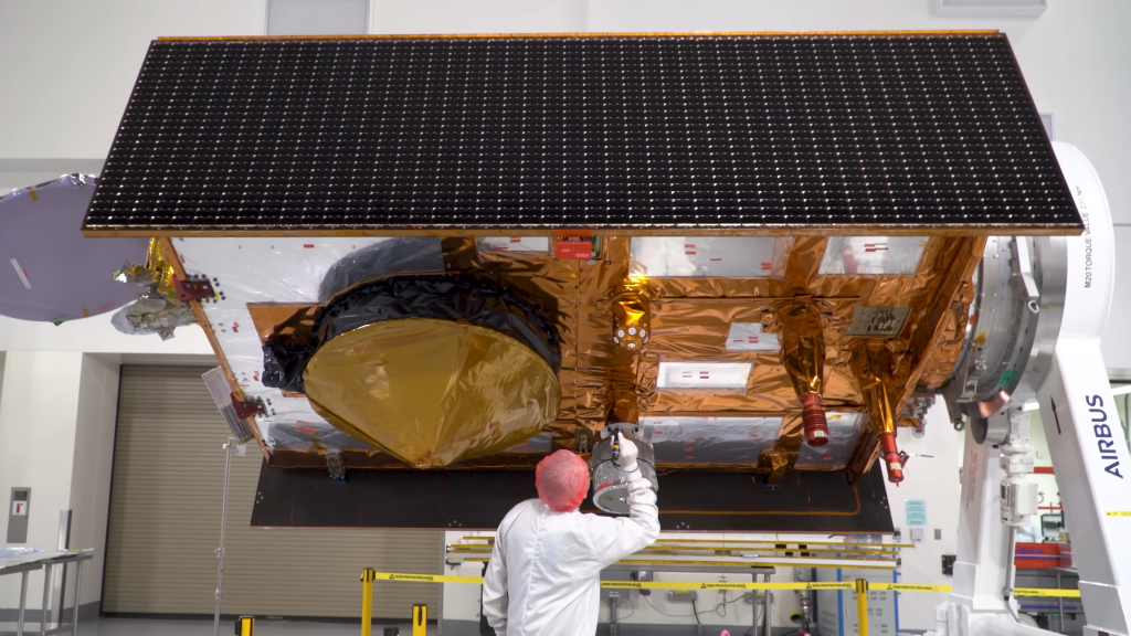
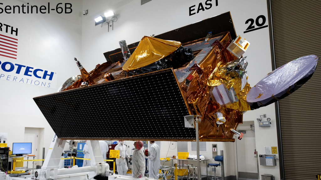
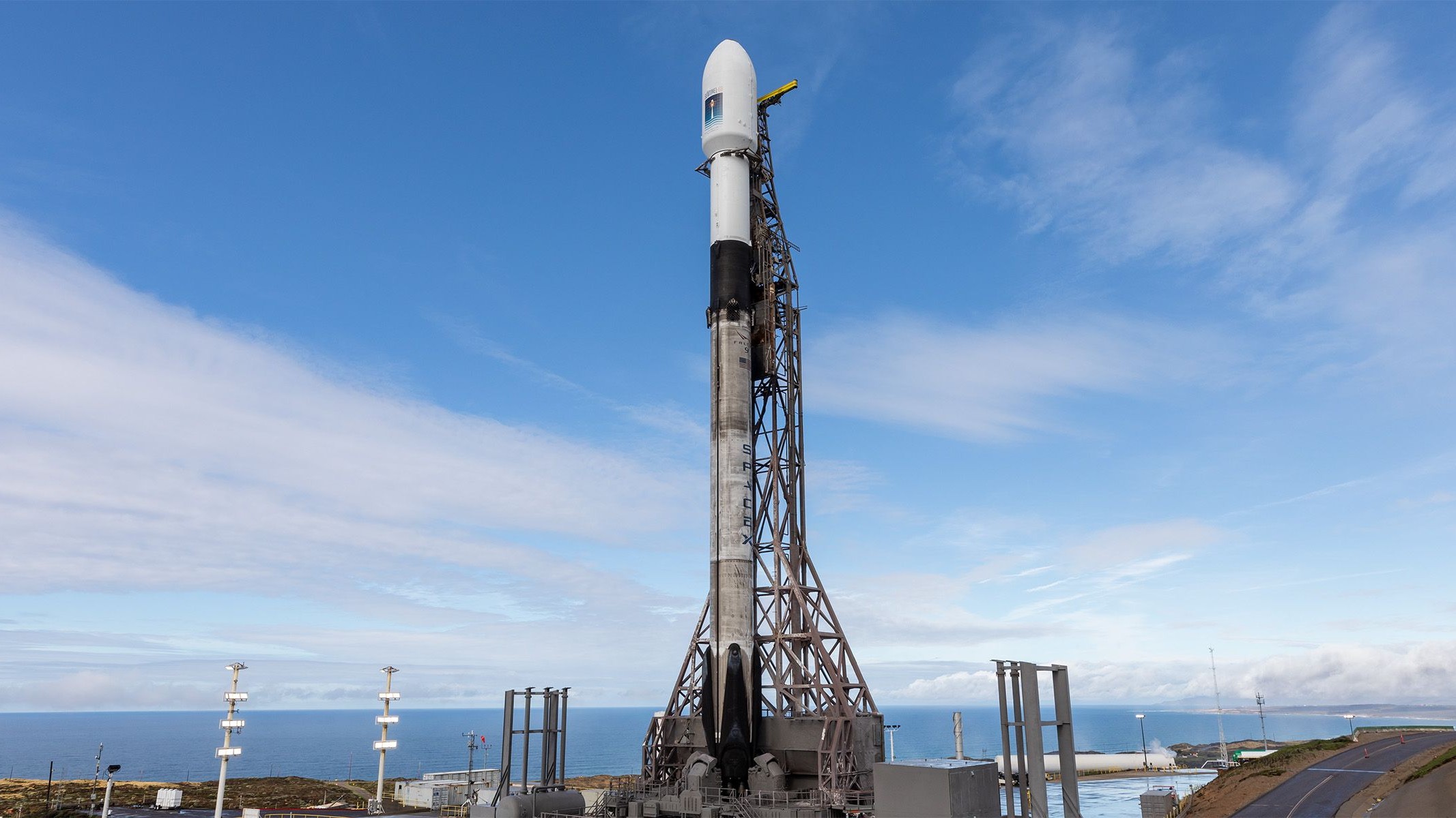
At 9:21 p.m. PST on Sunday, November 16 (12:21 a.m. EST on Monday, November 17), the new Sentinel-6B satellite took off aboard a Falcon 9 rocket from Vandenberg Space Force Base in California (United States). It is expected to remain operational until at least 2030, joining its twin satellite, Sentinel-6 Michael Freilich, launched five years earlier.
Sentinel-6B is an Earth and ocean observation satellite designed to measure sea level rise, wave height, and other essential ocean parameters with high precision. By combining these measurements with atmospheric data, the mission will improve weather forecasts, especially those associated with coastal phenomena and extreme events.
Thanks to its high-resolution observation capabilities, the satellite will deliver key information for disaster risk management, from coastal hazard maps to emergency preparedness tools. This data will be critical to protecting coastal infrastructure and the more than 900 million people living in coastal areas around the world.
According to EUMETSAT, “by mapping up to 95% of the ice-free oceans every 10 days, Sentinel-6B will provide crucial data on ocean currents, wave height, and wind speed. It will also extend a unique record of more than 30 years of accurate sea level observations, which is essential for understanding climate change” (EUMETSAT, November 14, 2025).
In addition to its contribution to marine monitoring, the mission will contribute to the monitoring of inland waters, enabling more accurate measurement of river and lake levels, modeling of flows, prediction of floods, and assessment of droughts.
This mission is co-funded by the European Commission, the European Space Agency (ESA), the European Organization for the Exploitation of Meteorological Satellites (EUMETSAT), and the United States, through the National Aeronautics and Space Administration (NASA) and the National Oceanic and Atmospheric Administration (NOAA). The European Commission provided funding, while France’s National Center for Space Studies (CNES) provided technical assistance. EUMETSAT operates the satellite and provides data to users.
The launch of Sentinel-6B marks a significant step toward strengthening global observation, improving understanding of climate change, and strengthening response capabilities to natural hazards, consolidating more than three decades of international cooperation for the benefit of the planet.
Image credits: NASA