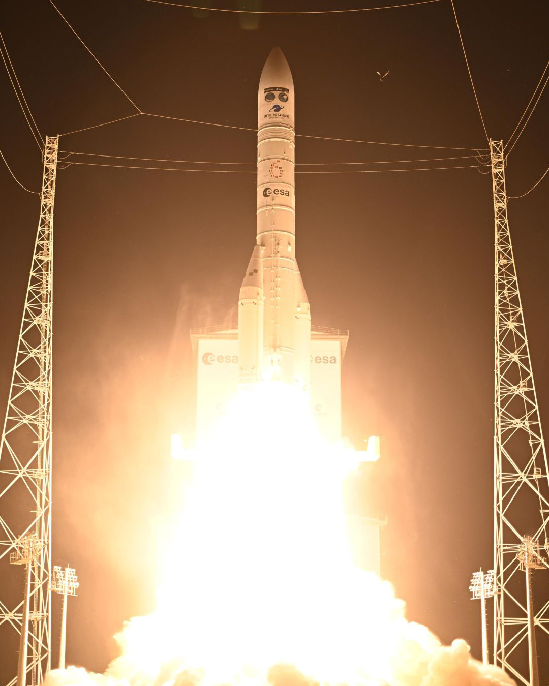
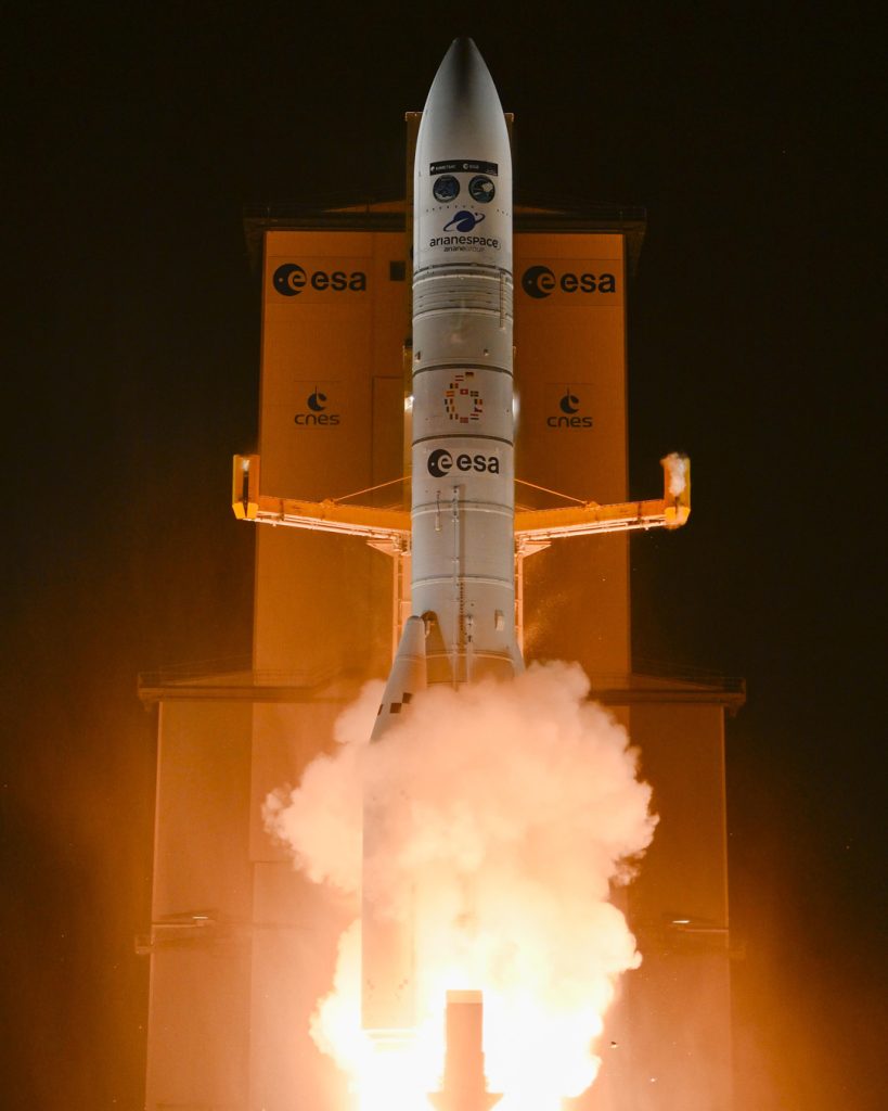
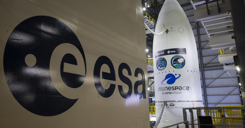
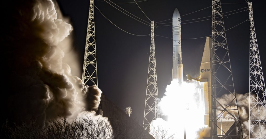
On Wednesday 13 August, the European Space Agency (ESA) launched the MetOp-SG-A1 satellite, the first model of the second generation of European polar-orbiting meteorological satellites. The launch, carried out from the Kourou Spaceport in French Guiana, marks the beginning of a new era in meteorological and climate monitoring from polar orbit. Also on board was the Copernicus Sentinel-5 spectrometer, designed to provide essential data on atmospheric pollutants, ozone, and gases linked to climate change. This instrument will help to improve the quality of weather forecasts and strengthen global air quality monitoring.
The MetOp Second Generation (MetOp-SG) mission builds on and enhances the capabilities of the first-generation MetOp satellites. It consists of three successive pairs of satellites, each comprising one Type A and one Type B model, which will operate in tandem for at least 20 years. The Type A models are equipped with instruments dedicated primarily to observing the atmosphere and air quality, while the Type B models will focus on monitoring oceanic and climatic parameters.
The programme is the result of close cooperation between ESA and the European Organisation for the Exploitation of Meteorological Satellites (Eumetsat). ESA is responsible for the design and development of the satellites, while Eumetsat manages launch services, ground segment development, in-orbit operations, and the distribution of data to the international meteorological community.
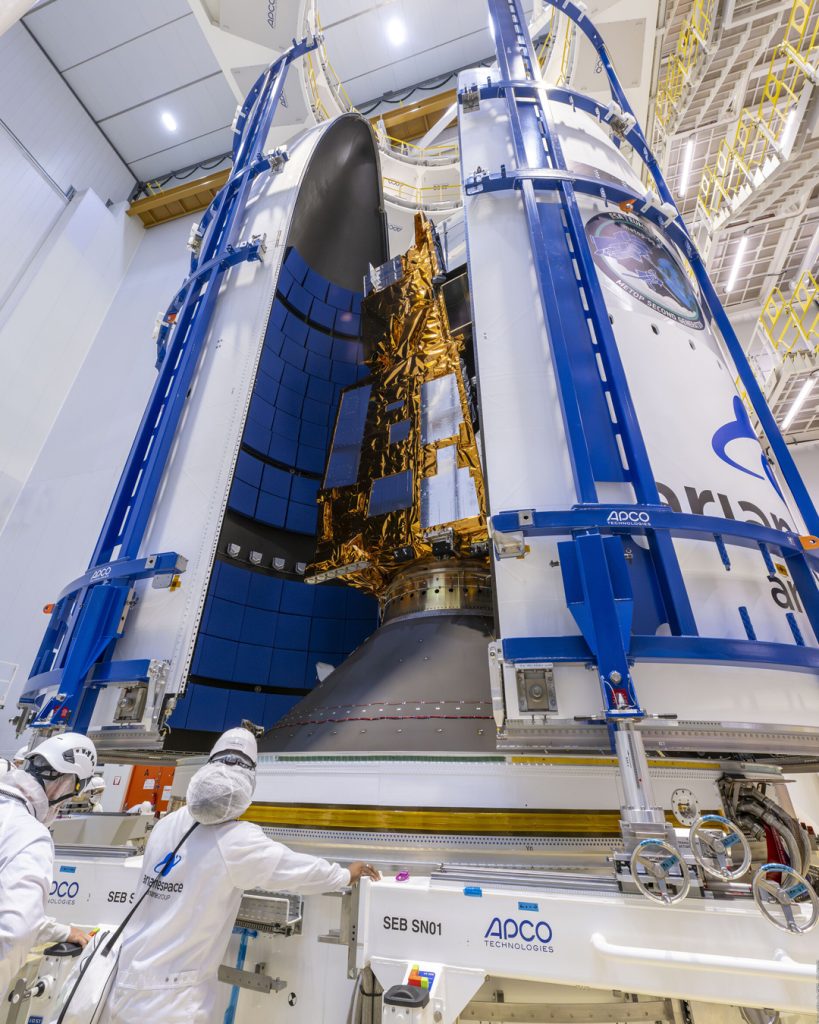
MetOp-SG-A1 carries six advanced instruments: a state-of-the-art infrared atmospheric sounder, a microwave sounder, a multispectral imaging radiometer, a multiview, multichannel, and multipolarisation imager, a radio occultation sounder — also present on previous MetOp satellites — and the Copernicus Sentinel-5 spectrometer, developed under ESA’s coordination by a consortium led by Airbus Defence and Space in Ottobrunn, Germany.
MetOp-SG satellites orbit the Earth from pole to pole at low altitude, enabling them to cover the entire globe in approximately 24 hours. This orbit, combined with their high-resolution sensors, provides detailed data on temperature, precipitation, clouds, winds, and air quality, representing a significant advance in the ability to respond to extreme weather events and to monitor climate change.
Text credits: European Space Agency (ESA).
Image credits:
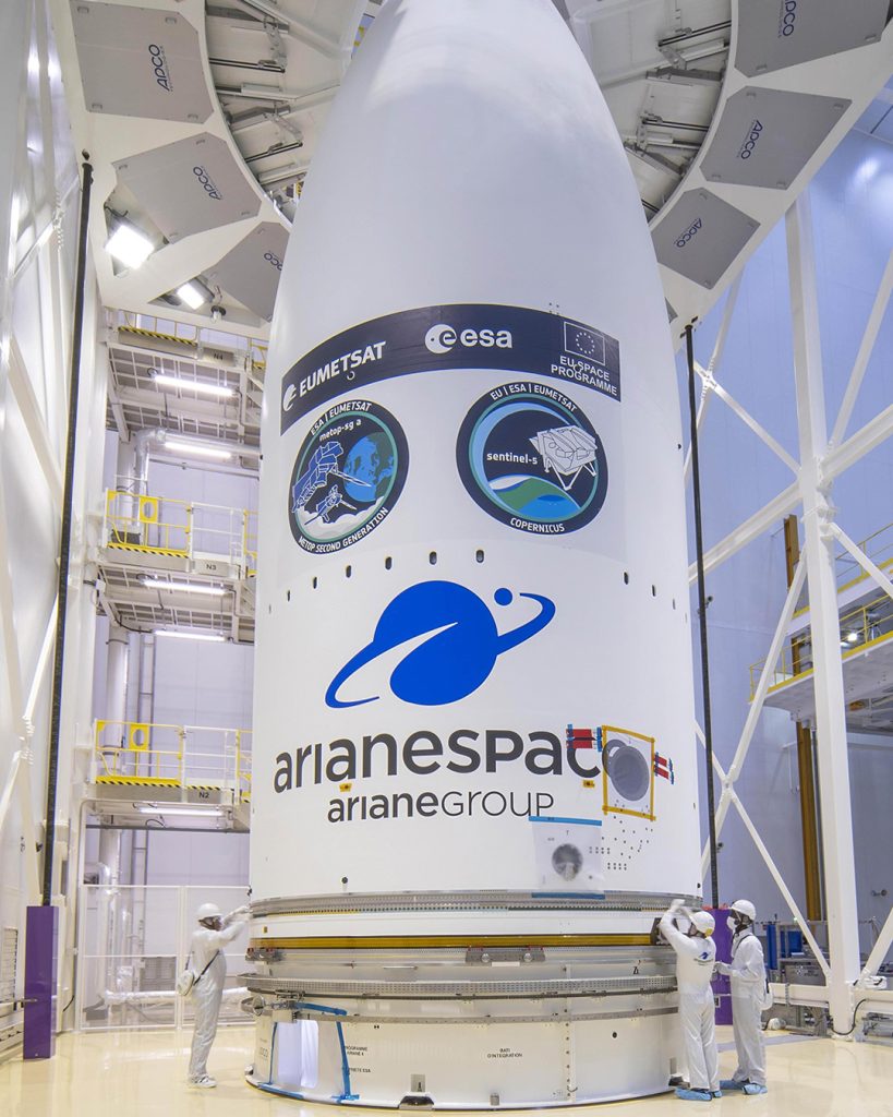
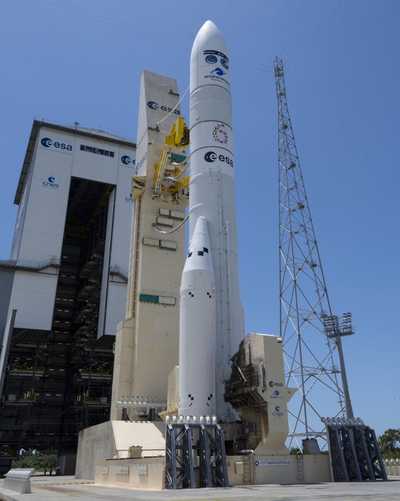
- Featured image and images 3 and 4: ESA – S. Corvaja.
- Image 1: ESA.
- Images 2 and 5: ESA – Manuel Pedoussaut.
- Image 6: ESA / CNES / Arianespace / CSG.