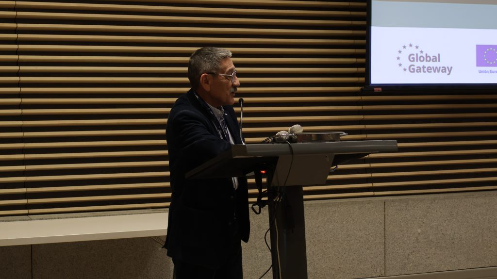
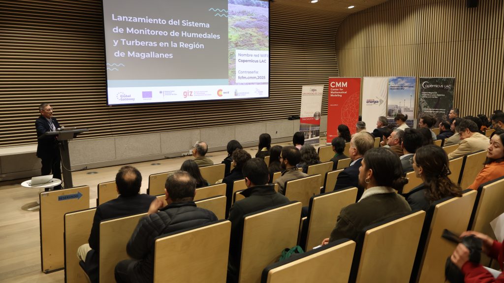
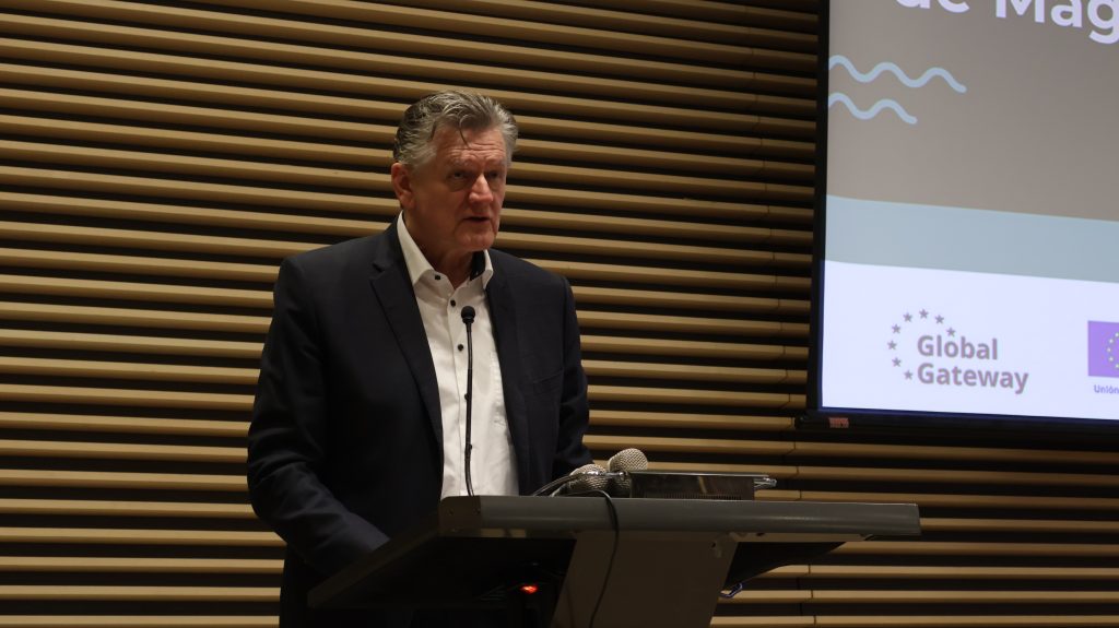
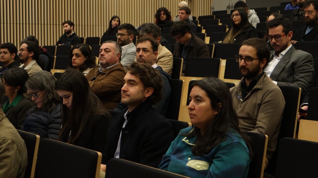
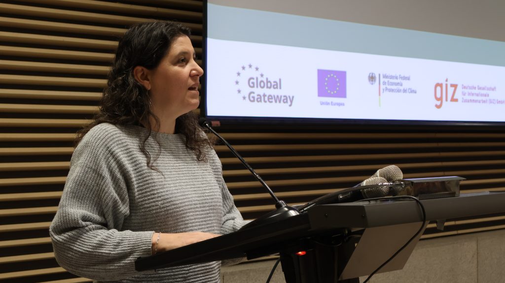
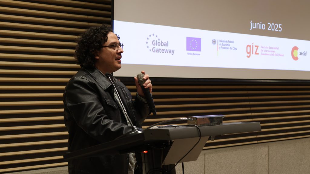
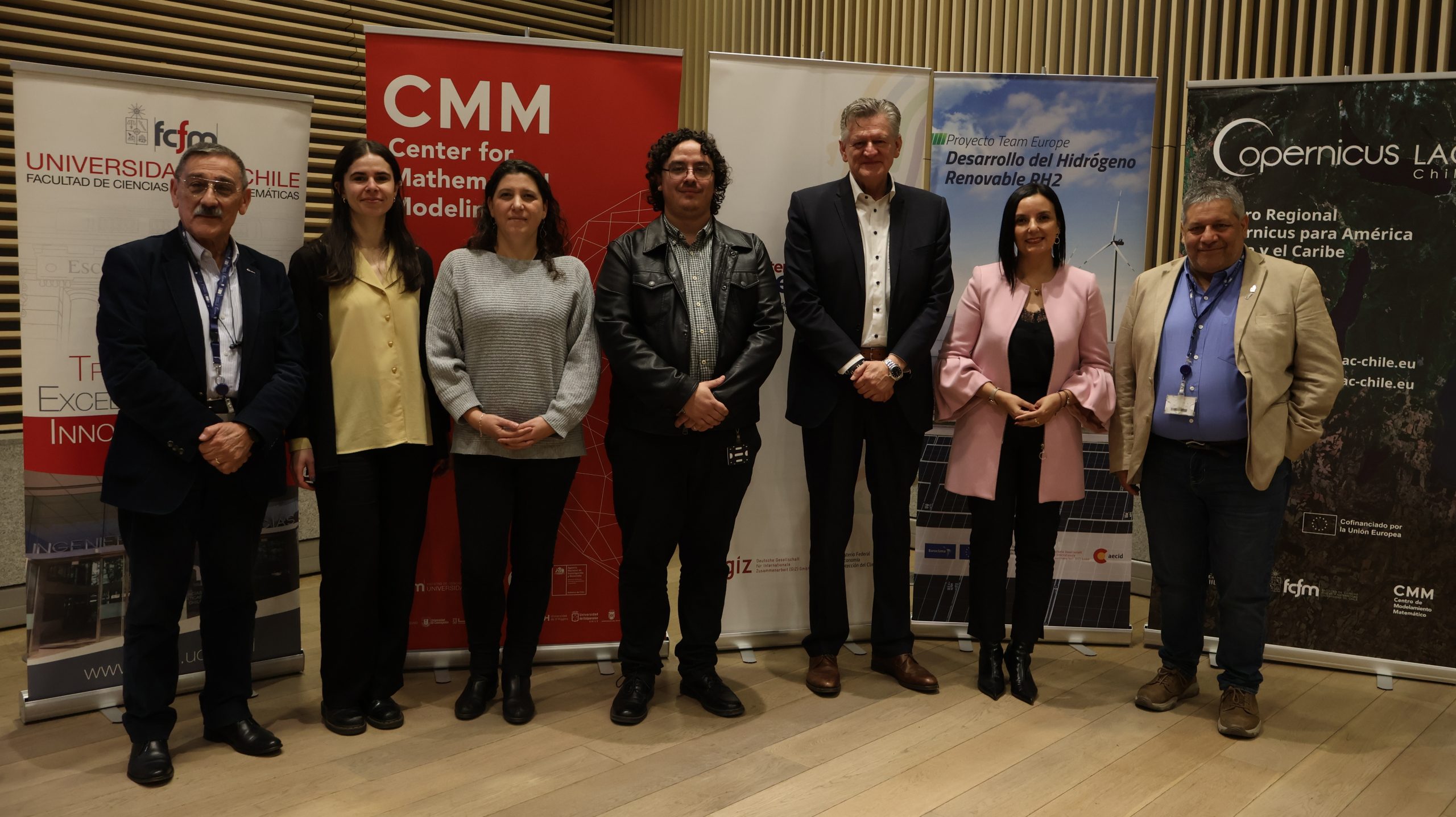
On 5 June, the launch ceremony of the Wetlands and Peatlands Monitoring System in the Magallanes Region was officially launched. This tool has been developed to observe and analyse the evolution of these ecosystems, which are essential for climate change mitigation.
The system is the result of a collaboration between the European Union, the German Federal Ministry for Economic Affairs and Climate Action (BMWK), the Spanish Agency for International Development Cooperation (AECID), and the Chilean ministries of Energy and the Environment. It combines satellite technology with field data to provide detailed and up-to-date information on these strategic ecosystems.
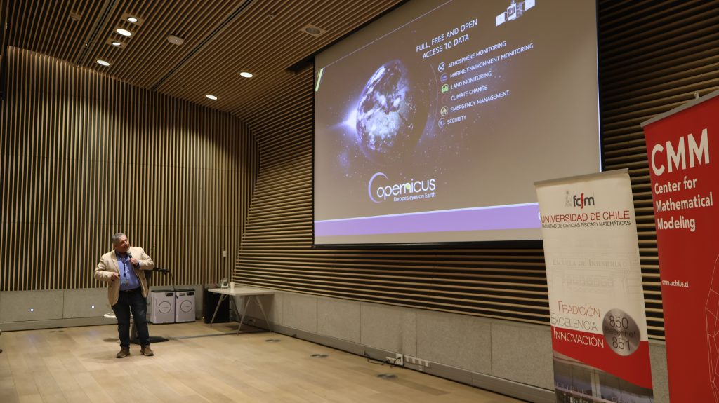
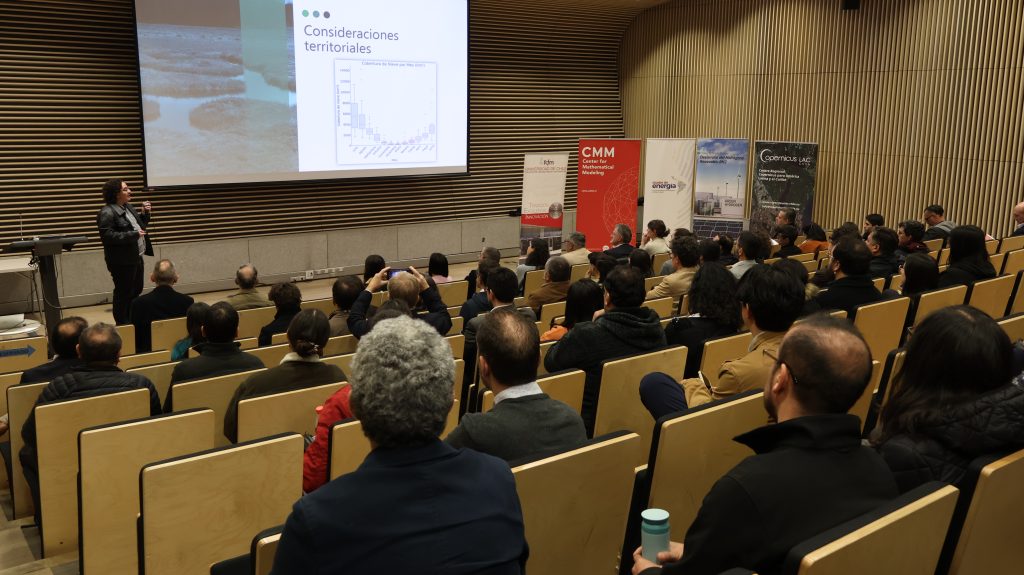
Its development involved the use of images from the European Earth observation programme Copernicus, collected by the Sentinel satellite constellation, and complemented by field campaigns measuring variables such as dominant species, vegetation cover, and water content.
The outcome is a detailed map of wetlands and peatlands, along with a georeferenced catalogue, now available for use by public authorities, researchers and project developers. This information will support both the planning of renewable hydrogen initiatives and the environmental protection of a region with high ecological and strategic value. The system is available at: https://turberas.cmm.uchile.cl.
The full recording of the ceremony can be viewed here:
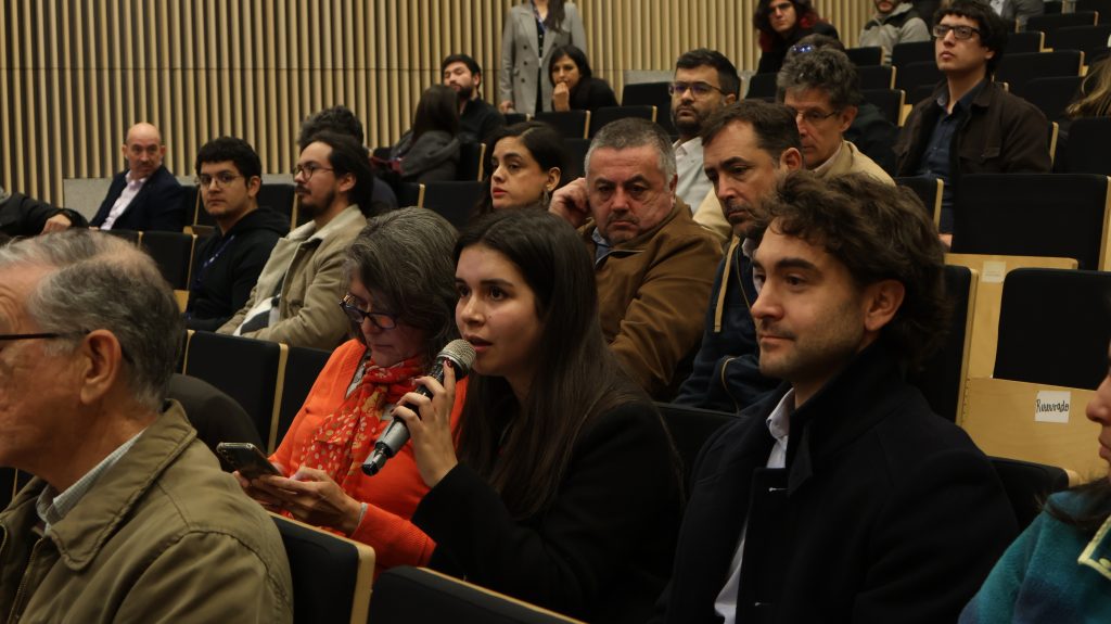
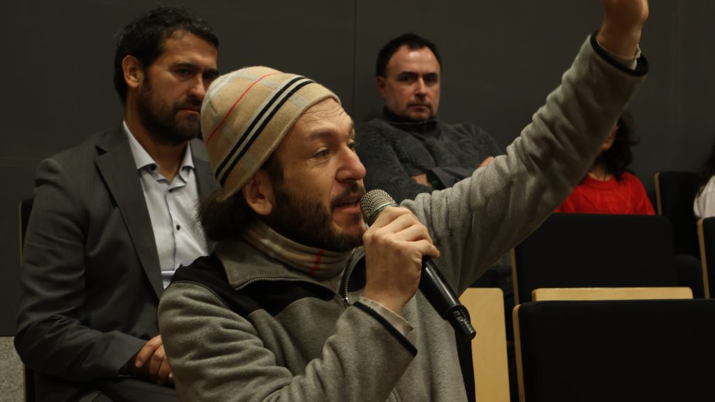
You can also access the event photo gallery here: