Locks at both ends are used to raise and lower the water level by up to 26 metres: ships entering the canal are raised and then lowered to sea level as they leave. Under normal conditions, the canal handles up to 14,000 vessels a year, making it one of the busiest sea passages in the world.
The Copernicus Sentinel-1 satellites carry radar instruments that provide images of the Earth’s surface in all weather conditions, day or night, making them ideal for monitoring maritime traffic.
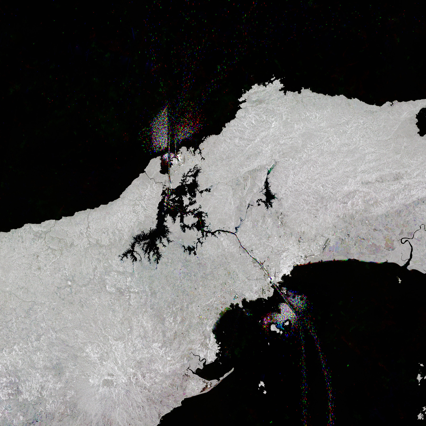
In addition to the clear trail of shipping traffic in the canal, traffic is also visible in Gatun Lake, the large, black, jagged body of water in the centre of the image.
Gatun Lake was created by damming the Chagres River to the north, where the river, which flows into the Caribbean Sea, is visible as a black meandering line. Water from the lake helps keep the locks in operation. However, during 2023, Panama experienced one of the driest seasons on record, which significantly affected the supply of fresh water needed to fill the locks.
This severe drought forced the Panama Canal Authority to gradually reduce the number of ships entering the canal from a daily average of 37 to a maximum of 31 per day. This impacted both maritime traffic and the local and global economy, and its effects continue to be felt in 2024.
Credits: Contains modified Copernicus Sentinel data (2020-2022), processed by ESA.